Airport-Data.com
Log in    New user?  Sign up for free
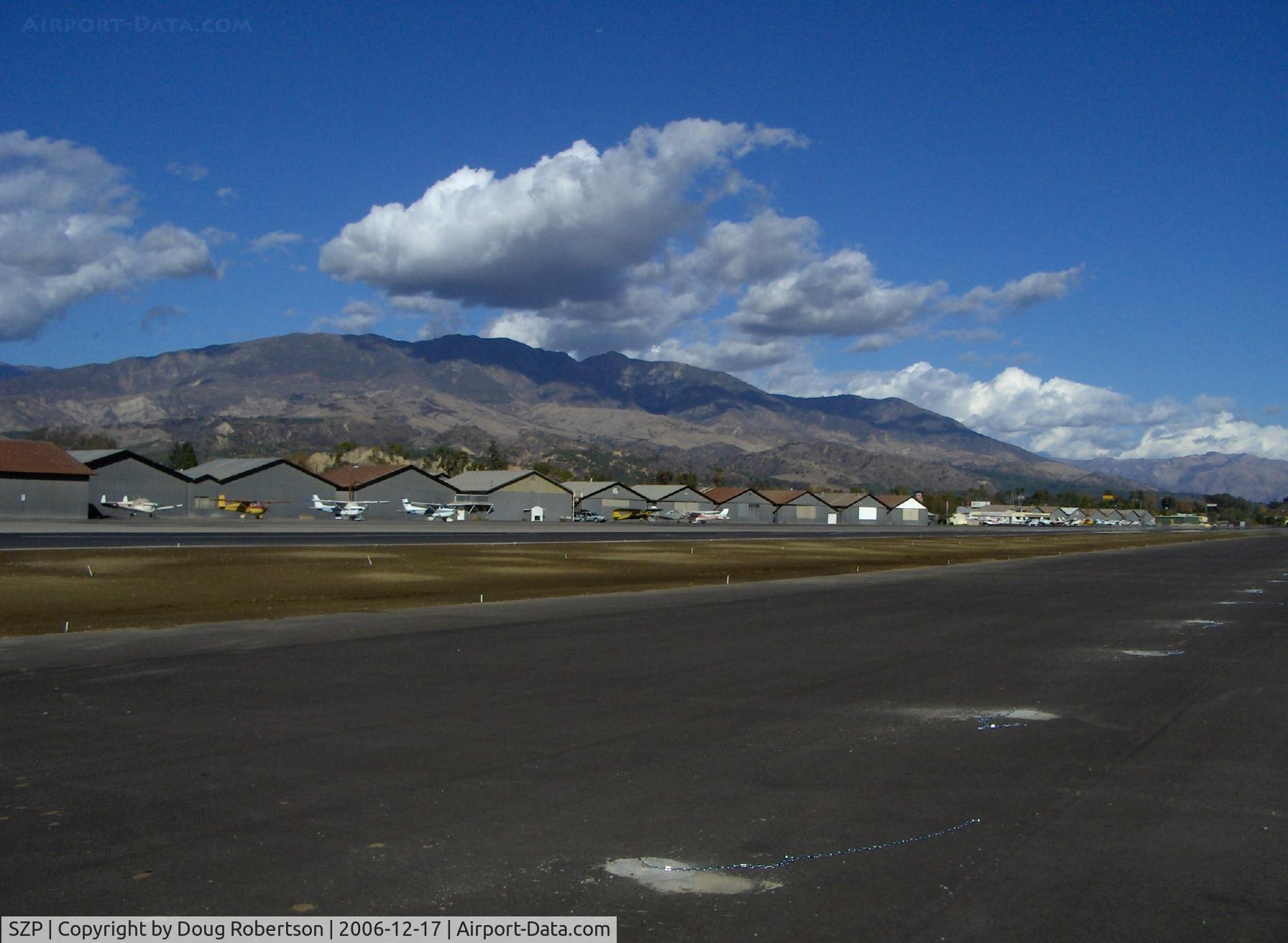
Santa Paula Airport (SZP) Photo

Santa Paula Airport (SZP) Profile

Links to this page and other related pages
More photos of Santa Paula Airport (SZP)
Have a photo of this airport? Share with others.
Photo ID: AP2629

Santa Paula Airport (SZP) - Old Hangars, Santa Paula Peak in background. Elevation 4.917 ft.

Old Hangars, Santa Paula Peak in background. Elevation 4.917 ft.

Folder: Doug Robertson's photo gallery > AIRPORTS-SEAPORTS > SZP-Santa Paula, CA Airport

Photo Info

Airport Santa Paula Airport (SZP)
Santa Paula, CA
Photographer: Doug Robertson
More photos by Doug Robertson
members.virtualtourist.com/Tugboatguy
Contact Doug Robertson
Shot Date: 2006-12-17
Upload Date: 2006-12-17
Views: 922

Photo MetaData

Device Manufacturer: Hewlett-packard
Device Model: HP PhotoSmart R607 (V01.00)
Device Type: Digital Still Camera
Shot Time: 2006:12:17 13:28:37
Original Image Size: 1792 x 1312 pixels
Exposure Time: 24/45283 sec
F Number: f/4.3
Exposure Bias: 0
ISO Speed: 100
Focal Length: 5.8 mm
Flash: No Flash
Exposure Mode: 0
White Balance: 0
Scene Type: Directly Photographed
Contrast: 0
Saturation: 0
Sharpness: 0
Total 1165 photos. View all photos
More photos of Santa Paula Airport (SZP)

  • Santa Paula Airport (SZP) - 80th Anniversary Airshow - by Doug Robertson by Doug Robertson
  • Santa Paula Airport (SZP) - 32 Curtiss Taxi-New hangar under construction. ESSO sign (Canadian fuel) - by Doug Robertson by Doug Robertson
  • Santa Paula Airport (SZP) - Flood Damage to Runway 2005 - by v1rotate by v1rotate
  • Santa Paula Airport (SZP) - Santa Paula Airport SHELL 100LL self-serve, location: midfield North. Lowered price change. - by Doug Robertson by Doug Robertson
  • Santa Paula Airport (SZP) - SZP's Aviation Fuel dock, location-midfield North, note changed fuel price 100LL - by Doug Robertson by Doug Robertson