Log in
New user? Sign up for free

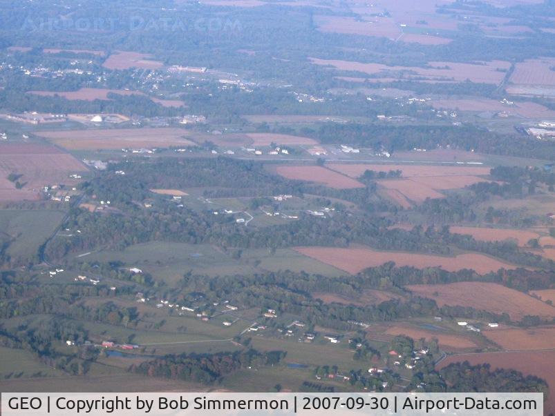
| Airport | Brown County Airport (GEO) |
| Georgetown, OH | |
| Photographer: | Bob Simmermon |
| More photos by Bob Simmermon | |
| Contact Bob Simmermon | |
| Shot Date: | 2007-09-30 |
| Upload Date: | 2007-10-03 |
| Views: | 1151 |
| Device Manufacturer: | Canon |
| Device Model: | Canon PowerShot A560 |
| Device Type: | Digital Still Camera |
| Shot Time: | 2007:10:02 08:26:23 |
| Original Image Size: | 3072 x 2304 pixels |
| Exposure Time: | 1/320 sec |
| F Number: | f/4.5 |
| Exposure Bias: | 0 |
| ISO Speed: | 80 |
| Focal Length: | 15.783 mm |
| Flash: | No Flash |
| Exposure Mode: | 0 |
| White Balance: | 0 |
| Scene Type: | |
| Contrast: | |
| Saturation: | |
| Sharpness: |