Airport-Data.com
Log in    New user?  Sign up for free
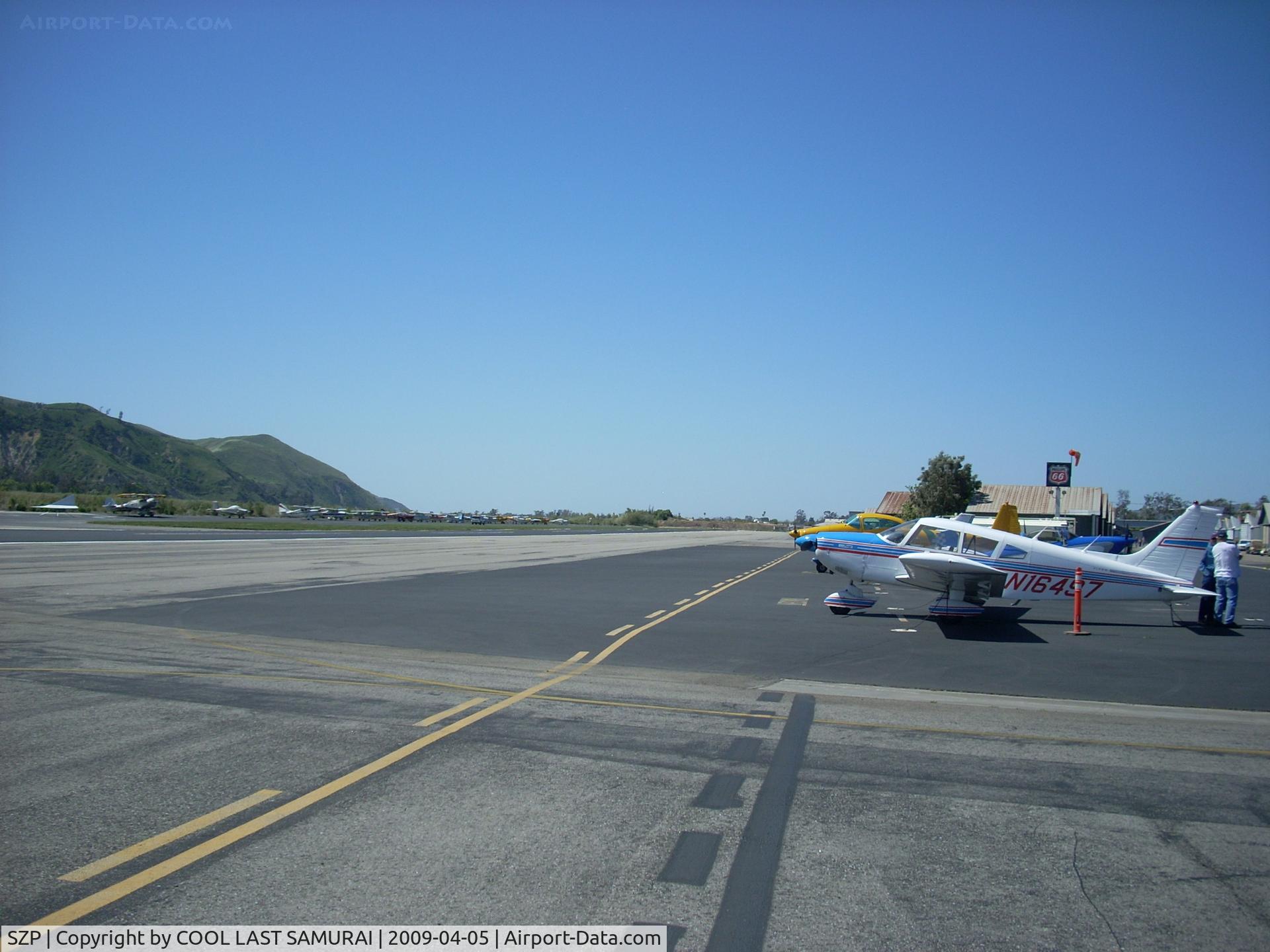
Santa Paula Airport (SZP) Photo

Santa Paula Airport (SZP) Profile

Links to this page and other related pages
More photos of Santa Paula Airport (SZP)
Have a photo of this airport? Share with others.
Photo ID: AP11490

Santa Paula Airport (SZP) - Santa Paula Rwy4

Santa Paula Rwy4

Folder: COOL LAST SAMURAI's photo gallery > Airports

Photo Info

Airport Santa Paula Airport (SZP)
Santa Paula, CA
Photographer: COOL LAST SAMURAI
More photos by COOL LAST SAMURAI
Contact COOL LAST SAMURAI
Shot Date: 2009-04-05
Upload Date: 2009-04-16
Views: 904

Photo MetaData

Device Manufacturer: Nikon
Device Model: COOLPIX L11
Device Type: Digital Still Camera
Shot Time: 2009:04:05 12:13:36
Original Image Size: 2048 x 1536 pixels
Exposure Time: 1/439 sec
F Number: f/5.6
Exposure Bias: 0
ISO Speed: 64
Focal Length: 6.2 mm
Flash: No Flash
Exposure Mode: 0
White Balance: 0
Scene Type: Directly Photographed
Contrast: 0
Saturation: 0
Sharpness: 0
Total 1165 photos. View all photos
More photos of Santa Paula Airport (SZP)

  • Santa Paula Airport (SZP) - CP Aviation, FBO offering flight instruction and aircraft maintenance. Hangars and office - by Doug Robertson by Doug Robertson
  • Santa Paula Airport (SZP) - CP Aviation, FBO offering flight instruction and aircraft maintenance. Hangars - by Doug Robertson by Doug Robertson
  • Santa Paula Airport (SZP) - Old Hangars, Topa Topa Mountains, Santa Paula Ridge, Santa Paula Peak in background. Elevations:  Topa Topa Mts. 6,244 ft & 6,704 ft. Ridge 2,817 ft. Peak 4,917 ft. - by Doug Robertson by Doug Robertson
  • Santa Paula Airport (SZP) - T-REX radio-controlled  helicopter, building rotor revs for takeoff - by Doug Robertson by Doug Robertson
  • Santa Paula Airport (SZP) - Aviation Museum of Santa Paula, Hangar 2, The Watson hangar - by Doug Robertson by Doug Robertson