Airport-Data.com
Log in    New user?  Sign up for free
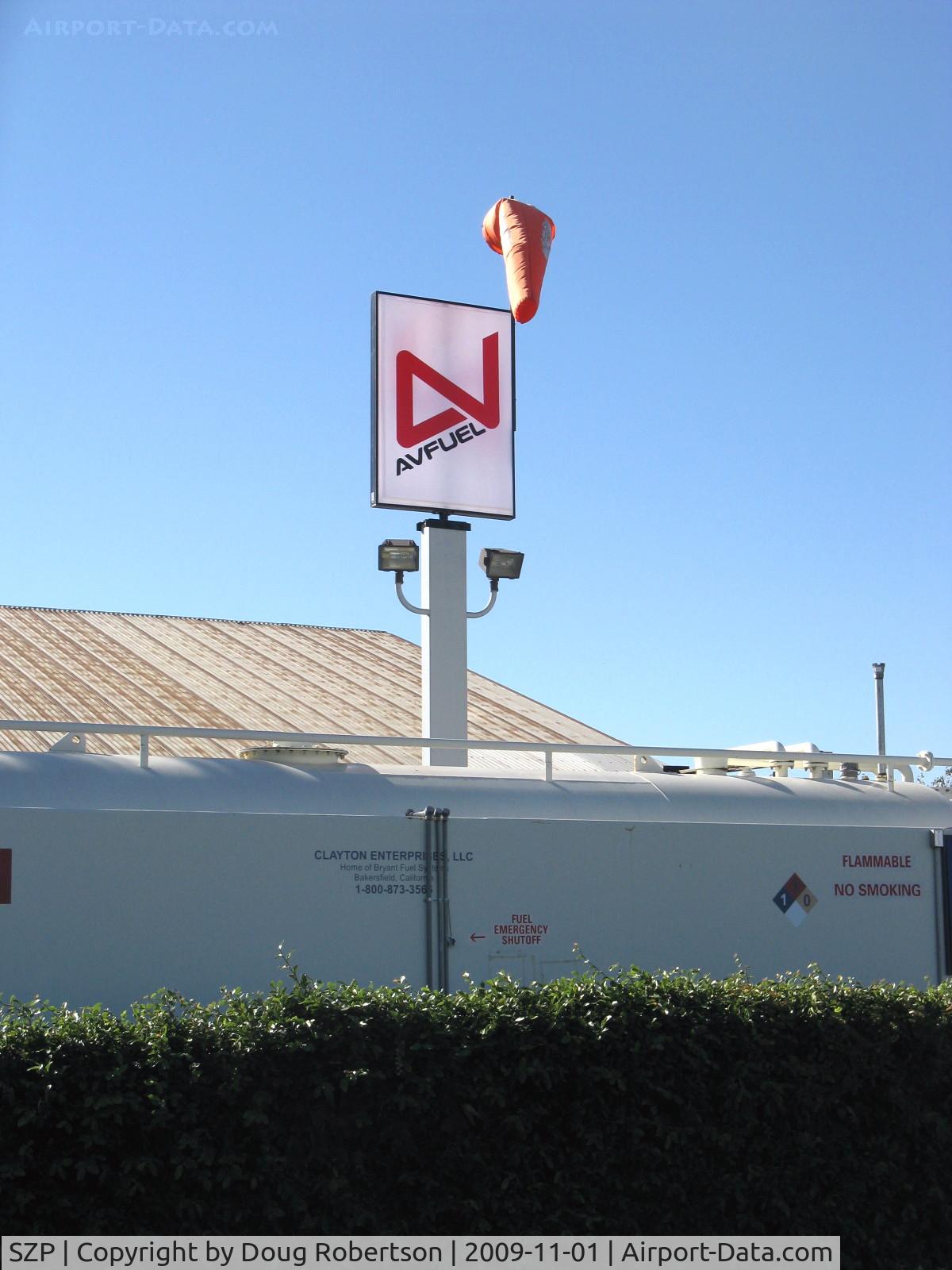
Santa Paula Airport (SZP) Photo

Santa Paula Airport (SZP) Profile

Links to this page and other related pages
More photos of Santa Paula Airport (SZP)
Have a photo of this airport? Share with others.
Photo ID: AP14822

Santa Paula Airport (SZP) - AVFUEL sign-New bulk supplier for self-service refueling..

AVFUEL sign-New bulk supplier for self-service refueling..

Folder: Doug Robertson's photo gallery > AIRPORTS-SEAPORTS > SZP-Santa Paula, CA Airport

Photo Info

Airport Santa Paula Airport (SZP)
Santa Paula, CA
Photographer: Doug Robertson
More photos by Doug Robertson
Contact Doug Robertson
Shot Date: 2009-11-01
Upload Date: 2009-11-02
Views: 815

Photo MetaData

Device Manufacturer: Canon
Device Model: Canon PowerShot A720 IS
Device Type: Digital Still Camera
Shot Time: 2009:11:01 14:58:46
Original Image Size: 1200 x 1600 pixels
Exposure Time: 1/800 sec
F Number: f/4
Exposure Bias: 0
ISO Speed: 80
Focal Length: 9.954 mm
Flash: No Flash
Exposure Mode: 0
White Balance: 0
Scene Type:
Contrast:
Saturation:
Sharpness:
Total 1165 photos. View all photos
More photos of Santa Paula Airport (SZP)

  • Santa Paula Airport (SZP) - Photo 1. South Mountain new fire just noted. Fire Department called. - by Doug Robertson by Doug Robertson
  • Santa Paula Airport (SZP) - CROMAN helicopter with Phos-Chek sling load dumped, returning to SZP Firebase. Note smoky sky. - by Doug Robertson by Doug Robertson
  • Santa Paula Airport (SZP) - Young Artists Sketch Class-Today's Subject: N9HM 1980 Cessna 180 SKYWAGON - by Doug Robertson by Doug Robertson
  • Santa Paula Airport (SZP) - Newer & Old Hangars, Santa Paula Peak in background. Elevation: 4,917 ft. - by Doug Robertson by Doug Robertson
  • Santa Paula Airport (SZP) - Pontius Airport AKA Ancient Valley-Not shown on any Aviation Charts per original owner's request. Airport land FOR SALE on Pontius Airport near Mojave, California, Rwy 2.600 ft paved/lighted + 2 dirt xwind - by Doug Robertson by Doug Robertson