Airport-Data.com
Log in    New user?  Sign up for free
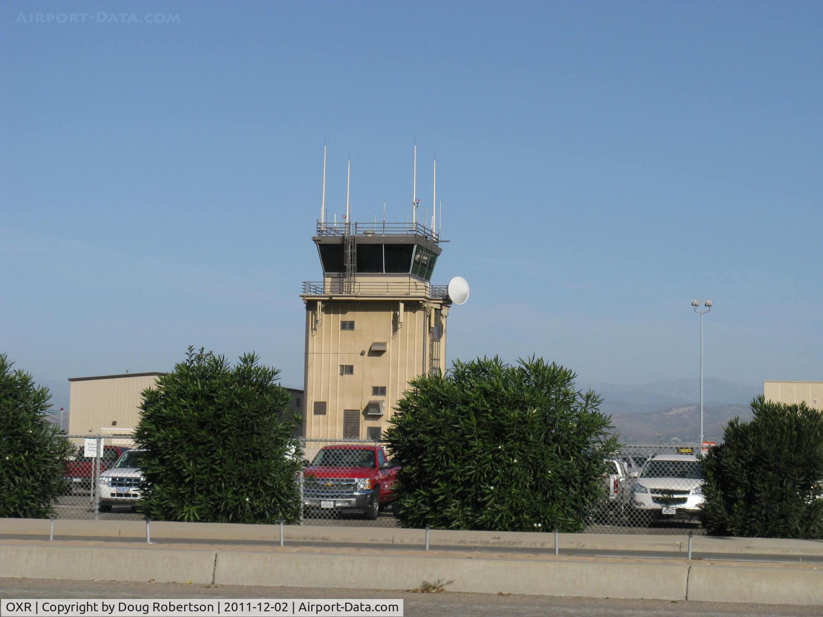
Oxnard Airport (OXR) Photo

Oxnard Airport (OXR) Profile

Links to this page and other related pages
More photos of Oxnard Airport (OXR)
Have a photo of this airport? Share with others.
Photo ID: AP24953

Oxnard Airport (OXR) - Oxnard Airport Air Traffic Control Tower

Oxnard Airport Air Traffic Control Tower

Folder: Doug Robertson's photo gallery > AIRPORTS-SEAPORTS > OXR-Oxnard, CA Airport

Photo Info

Airport Oxnard Airport (OXR)
Oxnard, CA
Photographer: Doug Robertson
More photos by Doug Robertson
Contact Doug Robertson
Shot Date: 2011-12-02
Upload Date: 2011-12-02
Views: 840

Photo MetaData

Device Manufacturer: Canon
Device Model: Canon PowerShot A720 IS
Device Type: Digital Still Camera
Shot Time: 2011:12:02 09:44:40
Original Image Size: 1600 x 1200 pixels
Exposure Time: 1/1000 sec
F Number: f/4
Exposure Bias: 0
ISO Speed: 80
Focal Length: 14.745 mm
Flash: No Flash
Exposure Mode: 0
White Balance: 0
Scene Type:
Contrast:
Saturation:
Sharpness:
Total 52 photos. View all photos
More photos of Oxnard Airport (OXR)

  • Oxnard Airport (OXR) - Oxnard Airport Street Entry Marker Pylon for Airport Passenger Terminal on West Fifth Street, Oxnard. California. NOTE: No scheduled commuter passenger service offered since Summer 2010.  - by Doug Robertson by Doug Robertson
  • Oxnard Airport (OXR) - Oxnard Airport Terminal Building. No commercial commuter passenger flights have been offered to/from OXR since Summer 2010. The terminal only provides various rental vehicle services. Note the four blank placards. - by Doug Robertson by Doug Robertson
  • Oxnard Airport (OXR) - Oxnard, California FAA Control Tower OXR, School Canyon brushfire smoke North - by Doug Robertson by Doug Robertson
  • Oxnard Airport (OXR) - OXR Aircraft Control Tower-Closeup. Runway Elevation-45'. Approach/Departure 124.7, ATIS 118.05, CTAF 134.95. Ground control 121.9, Tower 134.95  Rwy 07-25  5,953X100 paved - by Doug Robertson by Doug Robertson
  • Oxnard Airport (OXR) - OXR Runway 07-25, 5,953' X 100' asphalt, Million Air Hangar Southeast end. OXR was a Civilian Pilot Training Program field from 1939 onward thru World War II. Mira Loma Academy pilot housing across Fifth Street south of field now low-cost rental housing. - by Doug Robertson by Doug Robertson