Airport-Data.com
Log in    New user?  Sign up for free
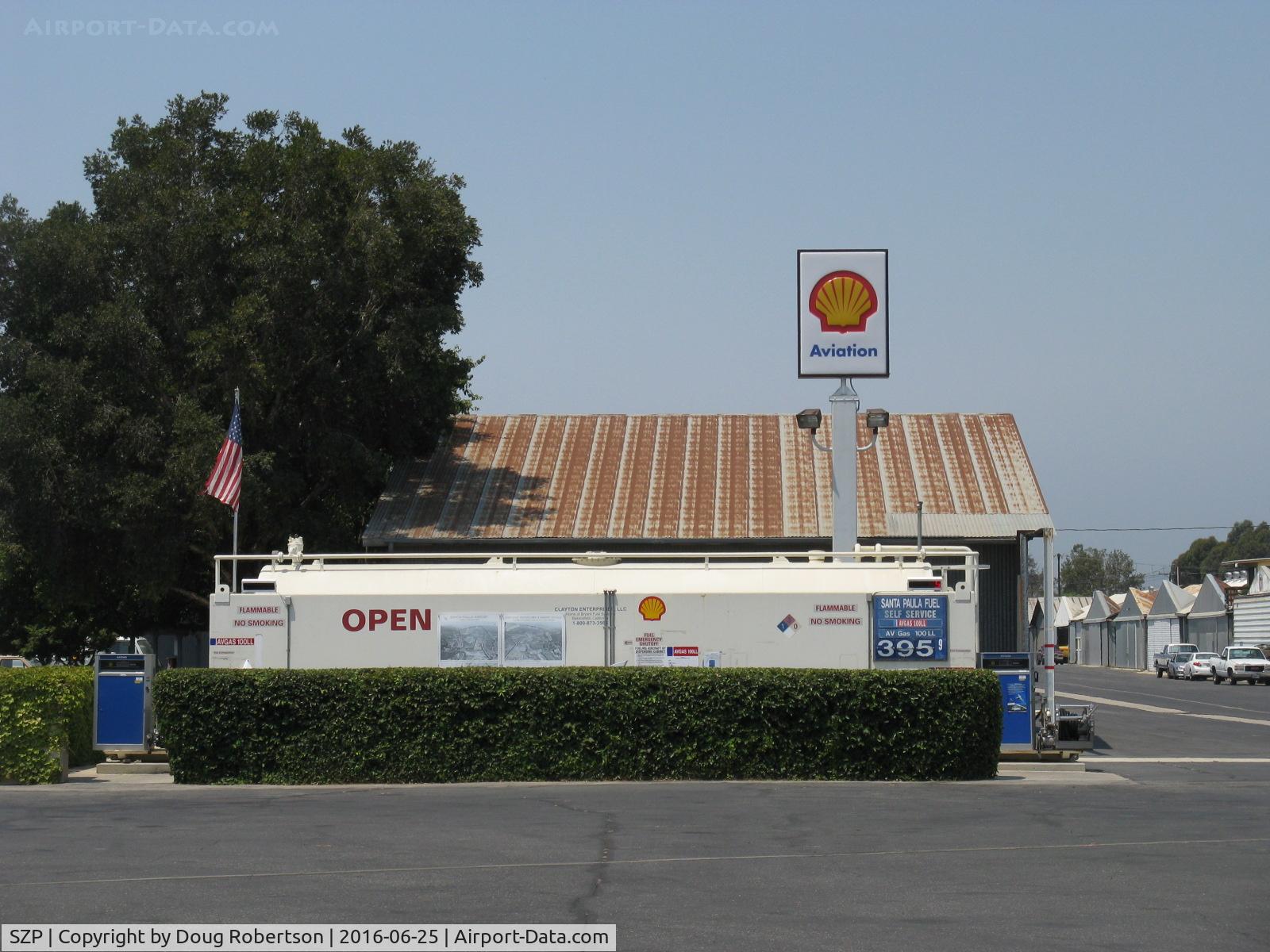
Santa Paula Airport (SZP) Photo

Santa Paula Airport (SZP) Profile

Links to this page and other related pages
More photos of Santa Paula Airport (SZP)
Have a photo of this airport? Share with others.
Photo ID: AP40312

Santa Paula Airport (SZP) - Santa Paula Airport Self-Serve SHELL 100LL, Location-midfield North, no price change

Santa Paula Airport Self-Serve SHELL 100LL, Location-midfield North, no price change

Folder: Doug Robertson's photo gallery > AIRPORTS-SEAPORTS > SZP-Santa Paula, CA Airport

Photo Info

Airport Santa Paula Airport (SZP)
Santa Paula, CA
Photographer: Doug Robertson
More photos by Doug Robertson
Contact Doug Robertson
Shot Date: 2016-06-25
Upload Date: 2016-06-25
Views: 320

Photo MetaData

Device Manufacturer: Canon
Device Model: Canon PowerShot A720 IS
Device Type: Digital Still Camera
Shot Time: 2016:06:25 11:47:04
Original Image Size: 1600 x 1200 pixels
Exposure Time: 1/1000 sec
F Number: f/4
Exposure Bias: 0
ISO Speed: 80
Focal Length: 13.159 mm
Flash: No Flash
Exposure Mode: 0
White Balance: 0
Scene Type:
Contrast:
Saturation:
Sharpness:
Total 1165 photos. View all photos
More photos of Santa Paula Airport (SZP)

  • Santa Paula Airport (SZP) - Link Trainer-Instructor swivel seat-GAT-1 circa 1962 - by Doug Robertson by Doug Robertson
  • Santa Paula Airport (SZP) - Closeup. 'Mutt Mitt' Doggy-Doo cleanup-one of several new installations around the airport. Grab it. Turn it. Toss it. - by Doug Robertson by Doug Robertson
  • Santa Paula Airport (SZP) - 9 Eagles Custom Hangars For Sale - by Doug Robertson by Doug Robertson
  • Santa Paula Airport (SZP) - RC drone High Wing Monoplane - by Doug Robertson by Doug Robertson
  • Santa Paula Airport (SZP) - Old Hangars, Topa Topa Mountains, Santa Paula Ridge, Santa Paula Peak in background. Elevations:  Topa Topa Mts. 6,244 ft & 6,704 ft. Ridge 2,817 ft. Peak 4,917 ft. - by Doug Robertson by Doug Robertson