Airport-Data.com
Log in    New user?  Sign up for free
Santa Paula Airport (SZP) Photo

Santa Paula Airport (SZP) Profile

Links to this page and other related pages
More photos of Santa Paula Airport (SZP)
Have a photo of this airport? Share with others.
Photo ID: AP43805

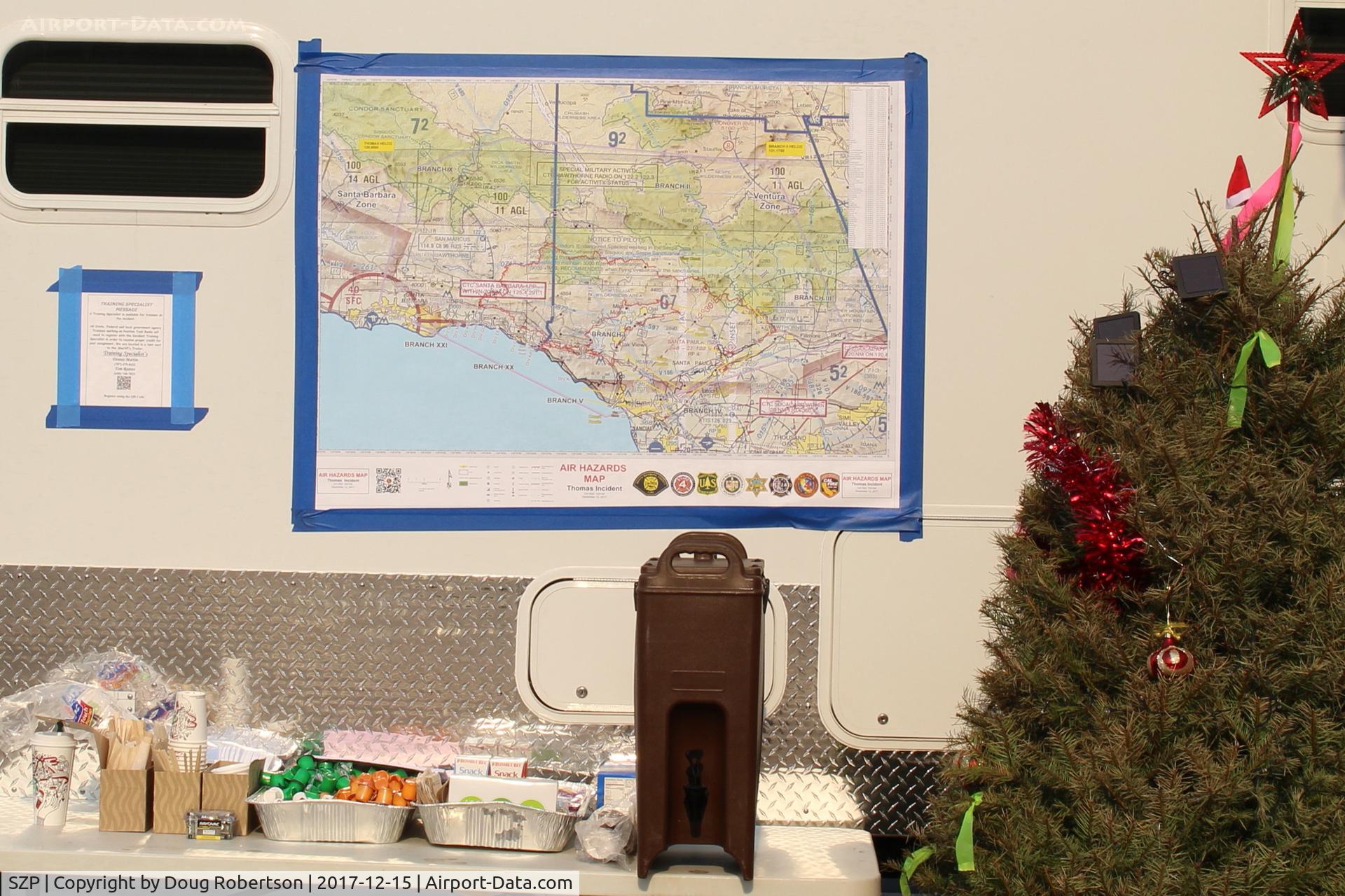
Santa Paula Airport (SZP) - Thomas Fire Base Support Center-Southern California Map showing the two Counties of the Thomas Fire-Ventura County and Santa Barbara County.

Thomas Fire Base Support Center-Southern California Map showing the two Counties of the Thomas Fire-Ventura County and Santa Barbara County.

Folder: Doug Robertson's photo gallery > AIRPORTS-SEAPORTS > SZP-Santa Paula, CA Airport

Photo Info

Airport Santa Paula Airport (SZP)
Santa Paula, CA
Photographer: Doug Robertson
More photos by Doug Robertson
Contact Doug Robertson
Shot Date: 2017-12-15
Upload Date: 2017-12-28
Views: 270

Photo MetaData

Device Manufacturer: Canon
Device Model: Canon EOS REBEL SL1
Device Type:
Shot Time: 2017:12:15 11:32:10
Original Image Size: 2654 x 1769 pixels
Exposure Time: 1/160 sec
F Number: f/11
Exposure Bias: 0
ISO Speed: 100
Focal Length: 30 mm
Flash: No Flash
Exposure Mode: 0
White Balance: 0
Scene Type:
Contrast:
Saturation:
Sharpness:
Total 1165 photos. View all photos
More photos of Santa Paula Airport (SZP)

  • Santa Paula Airport (SZP) - CP Aviation, FBO offering flight instruction and aircraft maintenance. Hangar and Office. Part of CP's extensive flight line of aircraft on a rare, rainy day. - by Doug Robertson by Doug Robertson
  • Santa Paula Airport (SZP) - Former TWA Captain's Hangar #2 - by Doug Robertson by Doug Robertson
  • Santa Paula Airport (SZP) - Aviation F/X. Several Experimental class aircraft under construction. - by Doug Robertson by Doug Robertson
  • Santa Paula Airport (SZP) - Self-Serve Fuel Dock, 100LL only, note substantially lowered fuel price - by Doug Robertson by Doug Robertson
  • Santa Paula Airport (SZP) - Santa Paula SHELL 100LL Fuel Dock, no price change - by Doug Robertson by Doug Robertson