Pontoise-Cormeilles Aerodrome, Cormeilles-en-Vexin, Val-d'Oise, France (LFPT / POX)
Pontoise-Cormeilles Aerodrome
LFPT/POX
Pontoise-Cormeilles Aerodrome
Cormeilles-en-Vexin, Val-d'Oise, France
Latest photos of Pontoise-Cormeilles Aerodrome, Cormeilles-en-Vexin, Val-d'Oise, France
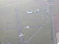
Didier BENOIT
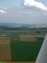
Erdinç Toklu
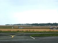
Erdinç Toklu
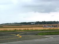
Erdinç Toklu
Pontoise-Cormeilles Aerodrome (LFPT/POX) is a regional airport located in Cormeilles-en-Vexin, Val-d'Oise, France. The airfield is situated at an elevation of 325 feet (99 meters) above sea level. Operations are conducted on 2 runways. The facility operates 3 published communication frequencies. The gallery features 16 photos documenting air traffic and facilities at the airport.
Runway 04/22
| Dimensions | 5,541 x 154 ft (1689 x 47 m) |
| Surface | Asphalt |
| Lighted | Yes |
| Status | Open |
| 04 | 22 | |
| Heading (True) | 45° | 225° |
| Latitude |
49.087799 N 49° 05' 16.08" |
49.098598 N 49° 05' 54.95" |
| Longitude |
2.027400 E 2° 01' 38.64" |
2.043650 E 2° 02' 37.14" |
| Elevation | 274 ft | 312 ft |
| Displaced Threshold | 0 ft | 558 ft |
Runway 12/30
| Dimensions | 5,079 x 148 ft (1548 x 45 m) |
| Surface | Asphalt |
| Lighted | No |
| Status | Open |
| 12 | 30 | |
| Heading (True) | 118° | 298° |
| Latitude |
49.101910 N 49° 06' 06.88" |
49.095348 N 49° 05' 43.25" |
| Longitude |
2.025665 E 2° 01' 32.39" |
2.044373 E 2° 02' 39.74" |
| Elevation | 323 ft | 317 ft |
| Displaced Threshold | 197 ft | 584 ft |