Oxnard Airport Photo
Photo ID: AP6756
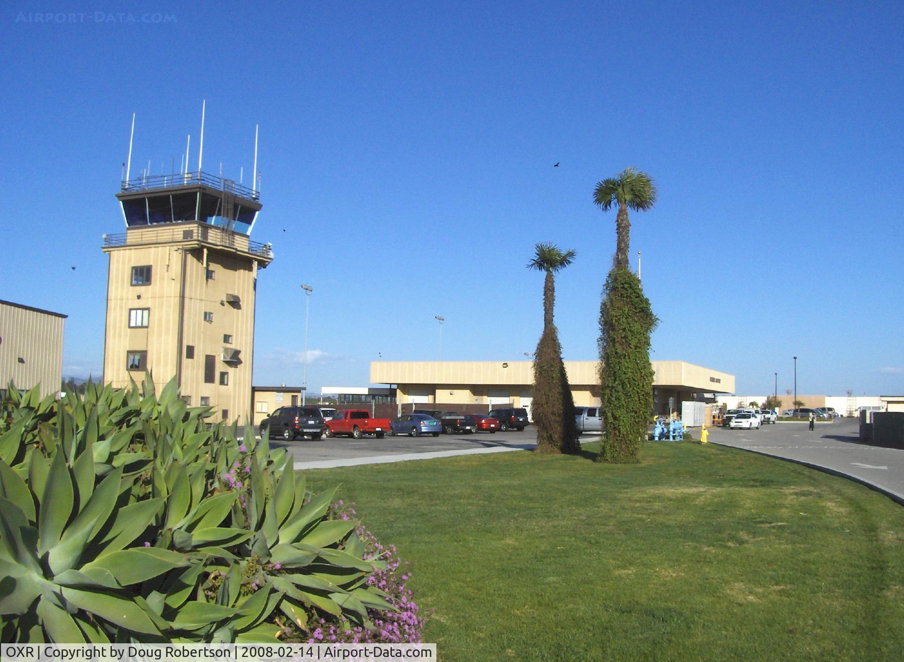
Control Tower & Airline Terminal. No scheduled commuter passenger service since Summer 2010.
Photo Info
| Airport | Oxnard Airport |
|---|---|
| Photographer |
Doug Robertson
Contact
|
| Shot Date | 2008-02-14 |
| Upload Date | 2008-02-14 |
| Views | 1,500 |
EXIF Data
| Camera Make | Hewlett-Packard |
|---|---|
| Camera Model | HP PhotoSmart R607 (V01.00) |
| Shutter Speed | 1/1538 sec |
| Aperture | f/4.3 |
| ISO | 2752 |
| Focal Length | 5.8 mm |
| Exposure Bias | 0 EV |
| Metering Mode | Unknown (2608) |
| White Balance | Manual |
| Dimensions | 1792 × 1312 |
| Date Taken | 2008-02-14 15:46:37 |
More photos of Oxnard Airport
Total 52 photos.
View all photos
 with sector block to the OXR Air Traffic Control Tower, atop one of several antenna farms. Location: SE. White-red vertical antennas are cell phone repeaters. - by Doug Robertson")
Doug Robertson

Doug Robertson

Doug Robertson

Doug Robertson
 with sector block to the OXR Air Traffic Control Tower, atop one of several antenna farms. Location: SE. Photo from off-airport. White-Red vertical antennas are cell phone repeaters. - by Doug Robertson")
Doug Robertson