NONE Photo

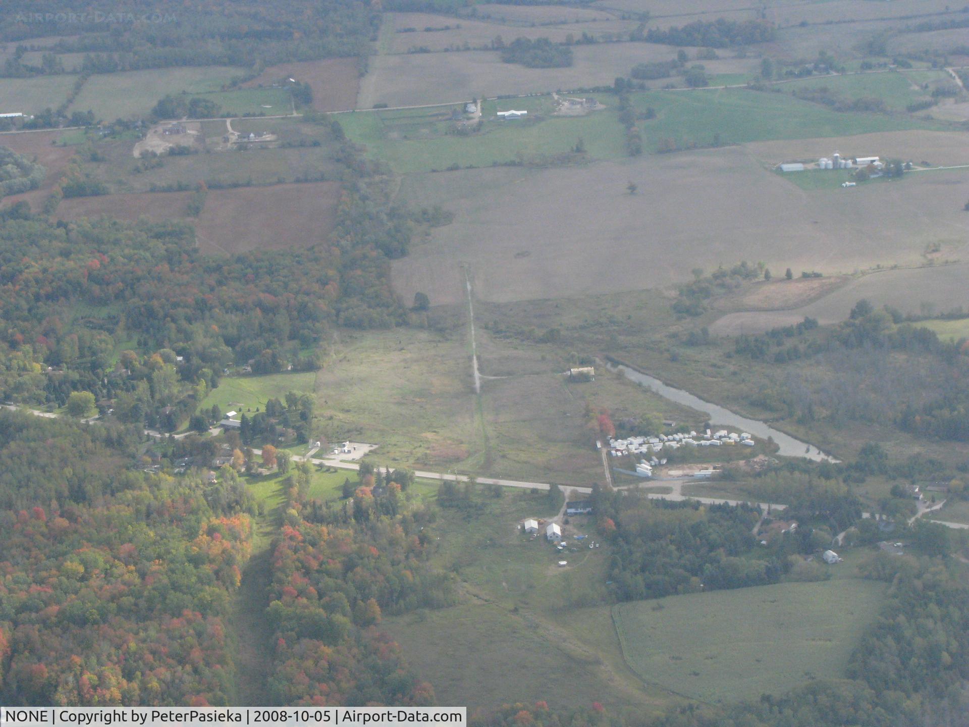
Pottageville, Ontario Canada. The narrow gravel strip is what is left over after an attempt to have an airport. The water ditch was dug to allow float-equiped aircraft to land there. The locals got together and forced the closure.
Photo Info
Airport NONE
Photographer
PeterPasieka Contact
Shot Date 2008-10-05
Upload Date 2008-10-06
Views 2,304
EXIF Data
Camera Make Canon
Camera Model Canon PowerShot S5 IS
Shutter Speed 1/640 sec
Aperture f/5.6
ISO 400
Focal Length 16 mm
Exposure Bias 0 EV
Metering Mode Pattern
White Balance Auto
Dimensions 3264 × 2448
Date Taken 2008-10-05 15:42:30
More photos of NONE
 - Former military field on the Hy 8 corridor between Yuma to Phoenix,Az.It is one of many and have yet to determine which one it is. - by S B J
S B J
 - Looking north at an uncharted farm strip south of Lakeview, Ohio at SR 235 & 274. - by Bob Simmermon
Bob Simmermon
 - Livermore Sky Ranch 1930-1965.Was a mile from Livermore with a 4K ft turf runway. Picture is from 1964 with my dad and I walking the line looking at the wide variety of planes back then! Closed when new out of town airport opened. - by S B J
S B J
 - Private airfield in Southern Ontario, Canada - by PeterPasieka
PeterPasieka
 - Helicopter pad  on Tatoosh Island for the lighthouse near Cape Flattery,Wash.It is on The Strait Of Juan De Fuca.It is the most NW point of the US. View is to the south. - by S B J
S B J