NONE Photo

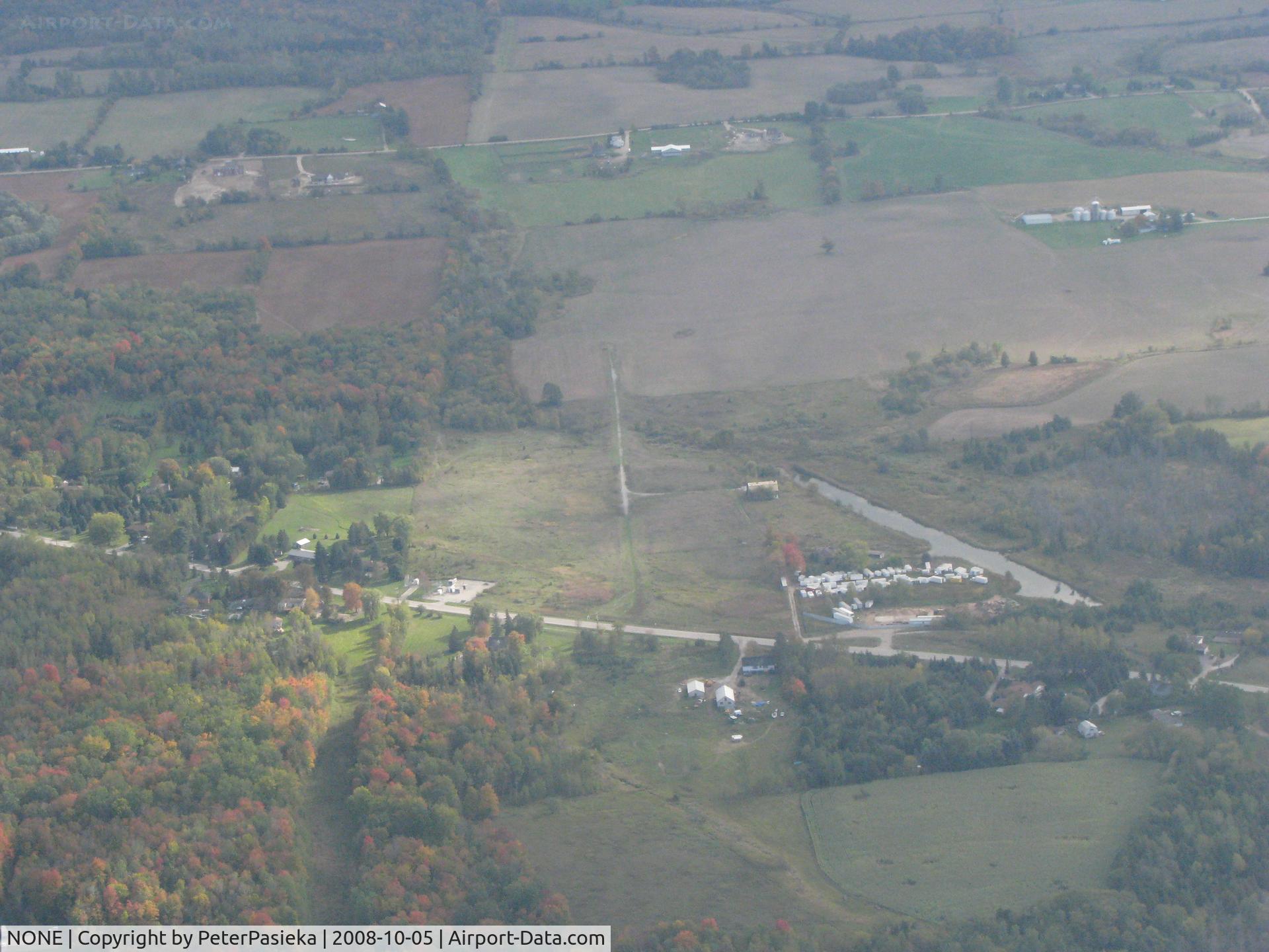
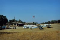
Pottageville, Ontario Canada. The narrow gravel strip is what is left over after an attempt to have an airport. The water ditch was dug to allow float-equiped aircraft to land there. The locals got together and forced the closure.
Photo Info
Airport NONE
Photographer
PeterPasieka Contact
Shot Date 2008-10-05
Upload Date 2008-10-06
Views 2,341
EXIF Data
Camera Make Canon
Camera Model Canon PowerShot S5 IS
Shutter Speed 1/640 sec
Aperture f/5.6
ISO 400
Focal Length 16 mm
Exposure Bias 0 EV
Metering Mode Pattern
White Balance Auto
Dimensions 3264 × 2448
Date Taken 2008-10-05 15:42:30
More photos of NONE
NONE, Unidentified field on the north edge of Butler, Ohio., photo by Bob Simmermon
Bob Simmermon
NONE, Private airfield in Southern Ontario, Canada, photo by PeterPasieka
PeterPasieka
NONE, Uncharted E-W farm strip on Thorpe Rd. at Cooper St. - Jackson, Michigan, photo by Bob Simmermon
Bob Simmermon
NONE, Cottonwood Landing,Az.which was 18 miles from Searchlight,Nv. This fantastic public use dirt strip was only 100 feet from the Colorado River.Was closed befor my second visit in 1990.Knew it was much to nice to stay open!! View is to the SW., photo by S B J
S B J
NONE, Robbins Airport near Lake Comanche,Ca.is a private strip.View is to the west and the 1st annual Chief ( and only one) fly in in progress.If open to the public (its not) the 1500 foot runway might need a net at the end to catch sunday pilots., photo by S B J
S B J