UNKN Photo
Photo ID: AP17450
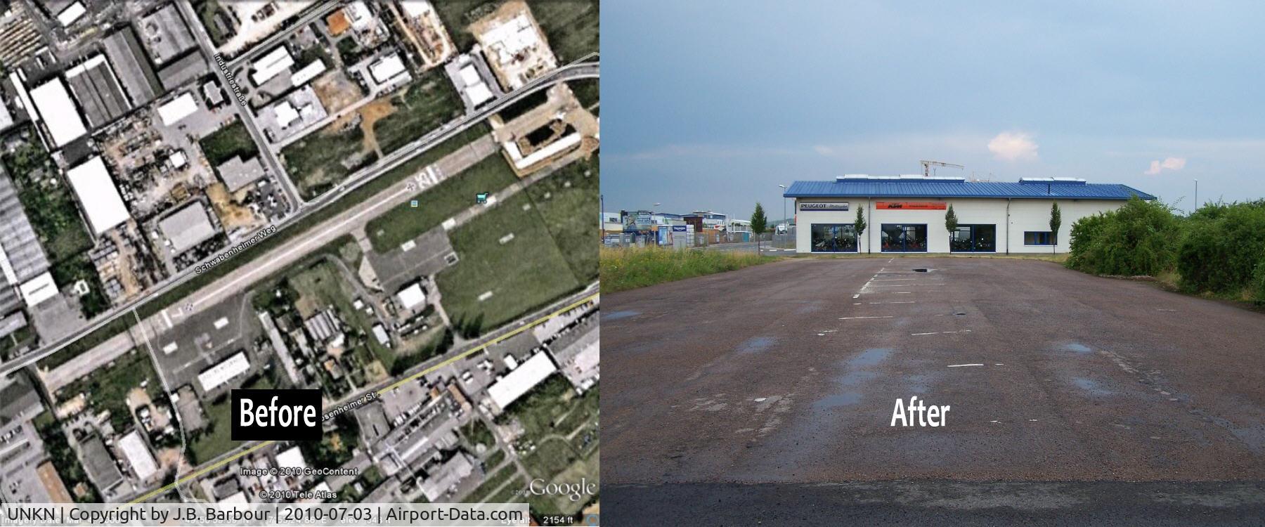
This photograph was design from my photo and Google Earth. You can find this on Google Earth at 49°51'0.34"N 7°53'25.22"E. Located in Bad Kreuznach, Germany. I wanted to show what a pre-WWII Airstrip looked like and where, since these location are giv
Location:
Photo Info
EXIF Data
No EXIF data available for this photo.
More photos of UNKN

J.B. Barbour

J.B. Barbour

J.B. Barbour

J.B. Barbour

J.B. Barbour