NONE Photo

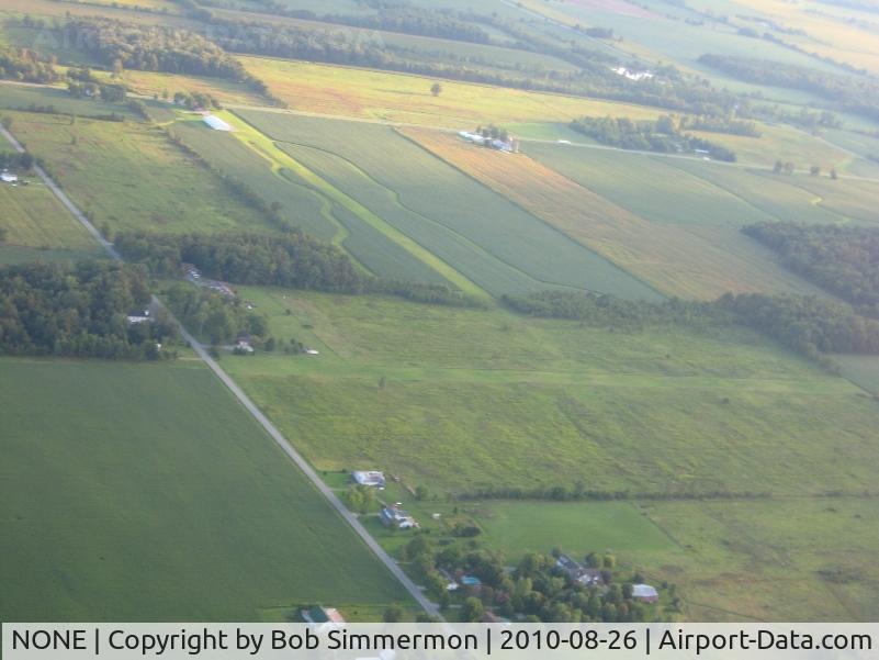
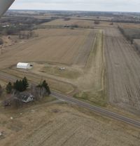
Looking NE at N-S and E-W farm strips east of Lima Ohio at St. Rt. 309 and Co. Rd. 15.
Photo Info
Airport NONE
Photographer
Bob Simmermon Contact
Shot Date 2010-08-26
Upload Date 2010-08-28
Views 778
EXIF Data
Camera Make Canon
Camera Model Canon PowerShot A560
Shutter Speed 1/80 sec
Aperture f/3.5
ISO 80
Focal Length 11.8 mm
Exposure Bias 0 EV
Metering Mode Pattern
White Balance Auto
Dimensions 2048 × 1536
Date Taken 2010-08-26 07:54:53
More photos of NONE
NONE, ‘On Freedom’s Wings’ The installation represents an Avro Lancaster bomber, in flight, heading “home” to RAF Swinderby, just 2 miles away. Although intended to be a reminder of all Bomber Command crews, one such aircraft, Lancaster R5689 (VN-N) crashed on, photo by Chris Hall
Chris Hall
NONE, Pender Memorial Hospital in Burgaw, NC, photo by J.B. Barbour
J.B. Barbour
NONE, Norfolk & Suffolk Aviation Museum, photo by Chris Hall
Chris Hall
NONE, Panamint dry lake was once well used for all kinds of recreation.The pole behind 246 was a nice windsock.That and other things (stakes & rocks)indicated large airplane use at one time.After years of inquiry,I failed to learn anything more., photo by S B J
S B J
NONE, Popple Creek Airport located in Mayhew Lake Township, MN just north of the Co Hwy 4 and Golden Spike Road intersection., photo by Kreg Anderson
Kreg Anderson