Oxnard Airport Photo

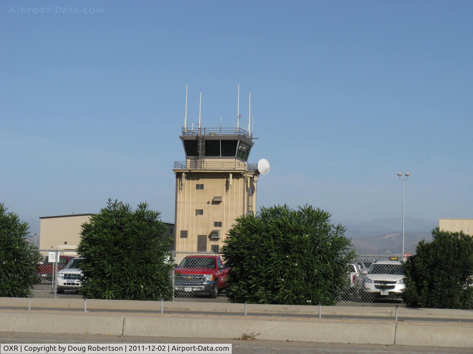
Oxnard Airport Air Traffic Control Tower
Photo Info
Airport Oxnard Airport
Photographer
Doug Robertson Contact
Shot Date 2011-12-02
Upload Date 2011-12-02
Views 912
EXIF Data
Camera Make Canon
Camera Model Canon PowerShot A720 IS
Shutter Speed 1/1000 sec
Aperture f/4
ISO 80
Focal Length 14.7 mm
Exposure Bias 0 EV
Metering Mode Pattern
White Balance Auto
Dimensions 1600 × 1200
Date Taken 2011-12-02 09:44:40
More photos of Oxnard Airport
Total 52 photos. View all photos
 - Oxnard Airport Fuel Farm, location East, 100LL, Jet-A, Jet-A with Prist. Hours Year Round, Sun.-Sat. 6:00 AM to 8:00 PM. Mobile tankers load here. - by Doug Robertson
Doug Robertson
 - Yet another Antenna cluster-South-midfield - by Doug Robertson
Doug Robertson
 - Airport Entrance Pylon on Fifth Street east of Patterson Road. OXR was a Civilian Pilot Training Program airport in the late 1930s, supplying pilots for WWII. USAAC pilots trained here in Stearman bipes also in early 1940s during WWII. - by Doug Robertson
Doug Robertson
 - Channel Islands Helicopters-scenic helicopter passenger flights-advertising vehicle. CIH operates N442EK R44 Clipper, (with pop-out floats) among other choppers for scenic flights. - by Doug Robertson
Doug Robertson
 - Aspen Helicopters, Inc., very long time tenant (provides Santa's Airborne Lighted Sleigh tow over Ventura County each Christmas), extensive ag. cropdusting. Update: Dec. 2017-no more Santa's Sleigh helicopter flights over County.-drone interference issues - by Doug Robertson
Doug Robertson