Furnace Creek Airport Photo
Photo ID: AP35673
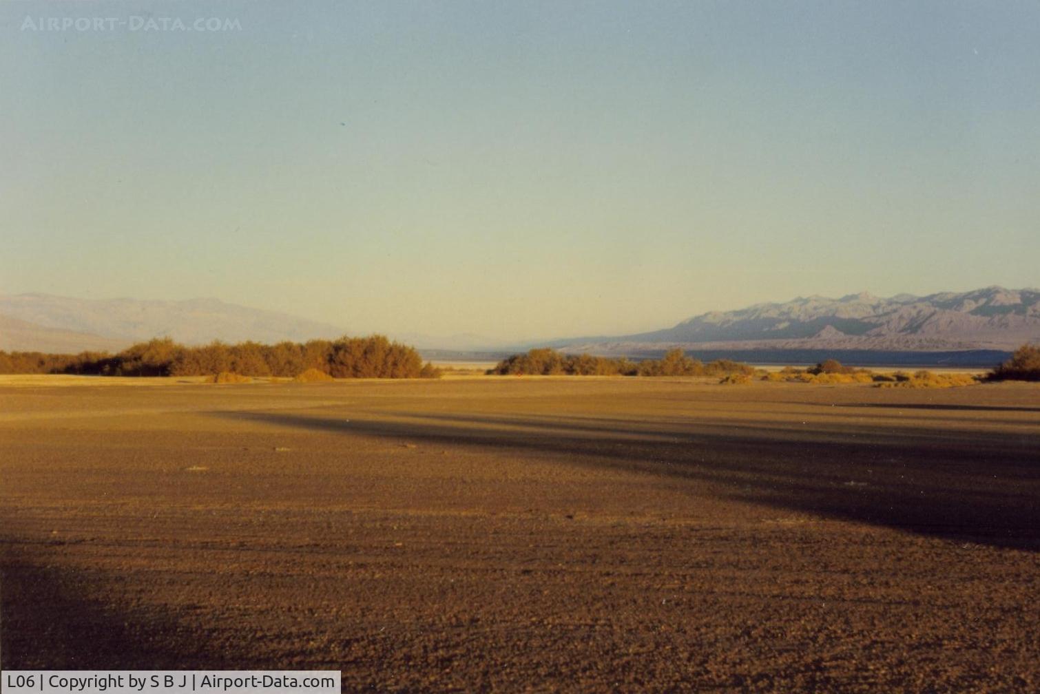
View from the tiedown area toward the runway and to the NW. Visibility is often unlimited.Frist time flying into D V,pilots will be amused to see the altimeter go below zero by some 200 feet and a 600 ft pattern (altimeter) is in order.
Photo Info
| Airport | Furnace Creek Airport |
|---|---|
| Photographer |
S B J
Contact
|
| Upload Date | 2014-07-24 |
| Views | 769 |
EXIF Data
| Date Taken | 2014-07-20 09:50:01 |
|---|
More photos of Furnace Creek Airport
Total 15 photos.
View all photos
 somewhat outnumber planes! - by S B J")
S B J

S B J

S B J

S B J

S B J