Appleton International Airport (ATW)
Appleton International Airport (ATW)
ATW
Appleton International Airport (ATW)
Appleton, WI
Latest photos of Appleton International Airport (ATW)
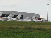
magnaman
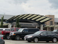
magnaman
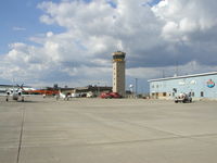
Mitch Sando
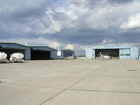
Mitch Sando
| FAA Information Effective | 2026-07-09 |
| Airport Identifier | ATW |
| Airport Status | Operational |
| Longitude/Latitude |
88°31'8.6600"
W /
44°15'29.1350"
N -88.519072 / 44.258093 (Estimated) |
| Elevation | 918.00 ft / 279.81 m (Surveyed) |
| Land | 1638 acres |
| From nearest city | 3 nautical miles W of Appleton, WI |
| Location | Outagamie County, WI |
| Magnetic Variation | 02W (1995) |
| Airport Use | Open to public |
| Wind indicator | Yes |
| Segmented Circle | No |
| Control Tower | ATCT |
| Lighting Schedule | SEE RMK |
| Beacon Color | White-Green (lighted land airport) |
| Landing fee charge | No |
| Sectional chart | GREEN BAY |
| Region | AGL - Great Lakes |
| Responsible ARTCC | ZMP - MINNEAPOLIS |
| Tie-in FSS | GRB - GREEN BAY |
| FSS on Airport | No |
| FSS Toll Free | 1-800-WX-BRIEF |
| NOTAMs Facility | ATW (NOTAM-d service available) |
| Certification type/date | 1974/11 |
Runway 03/21
| Dimensions | 8003 x 150 ft (2439 x 46 m) |
| Surface | CONC (GOOD) |
| Surface treatment | Saw-cut or plastic Grooved |
| Edge lights | High |
| 03 | 21 | |
|---|---|---|
| Alignment | 26° | 206° |
| Physical elevation | 887.50 ft | 877.90 ft |
| Coordinates | 44.248923 / -88.526183 | 44.268634 / -88.512739 |
| Traffic pattern | Left | Left |
| Runway marking | Precision instrument , Good Condition | Precision instrument , Good Condition |
| ILS type | ILS/DME | |
| VGSI |
4-light PAPI on left *OPERATES CONTINUOUSLY. |
4-light PAPI on left *OPERATES CONTINUOUSLY. PAPI RESTRICTED BYD 8.5 DEG RGT OF COURSE. |
| RVR equipment | touchdown | rollout |
| Approach light | MALSR | |
| Runway end lights | No | Yes |
| CL lights | No | No |
| TDZ lights | No | No |
Runway 12/30
| Dimensions | 6502 x 150 ft (1982 x 46 m) |
| Surface | CONC (GOOD) |
| Surface treatment | Saw-cut or plastic Grooved |
| Edge lights | High |
| 12 | 30 | |
|---|---|---|
| Alignment | 116° | 296° |
| Physical elevation | 918.00 ft | 858.10 ft |
| Coordinates | 44.261174 / -88.529733 | 44.253323 / -88.507453 |
| Traffic pattern | Left | Left |
| Runway marking | Precision instrument , Good Condition | Precision instrument , Good Condition |
| ILS type | ILS/DME | |
| VGSI | 4-light PAPI on left |
4-light PAPI on left *OPERATES CONTINUOUSLY. |
| Approach light | MALSR | |
| Runway end lights | Yes | |
| CL lights | No | No |
| TDZ lights | No | No |
- BIRDS & MIGRATORY WATERFOWL ON & INVOF ARPT.
- SNOW REMOVAL OPNS IN PROGRESS WINTER MONTHS. VEHICLE OPERATORS WILL BE MONITORING CTAF; ACFT LNDG/DEP APPLETON SHOULD USE CTAF WHEN ATCT CLSD.
- US CSTMS AND BORDER PROTECTION. PPR US CSTMS SVC MON-FRI 1300-2100Z (0800-1600 LOCAL) CALL 920-968-2348.
- WHEN ATCT CLSD, FOR CD CTC GREEN BAY APCH ON FREQ, IF UNA CTC MINNEAPOLIS ARTCC AT 651-463-5588.
- PERIODIC LIVE FIRE TRNG SOUTH SIDE OF ARPT.
- COML RAMP DEICING PADS ARE AVBL FOR LIVE ENG RUN OPN DRG DEICING.