General Edward Lawrence Logan International Airport (BOS)
General Edward Lawrence Logan International Airport (BOS)
BOS
General Edward Lawrence Logan International Airport (BOS)
Boston, MA
Latest photos of General Edward Lawrence Logan International Airport (BOS)
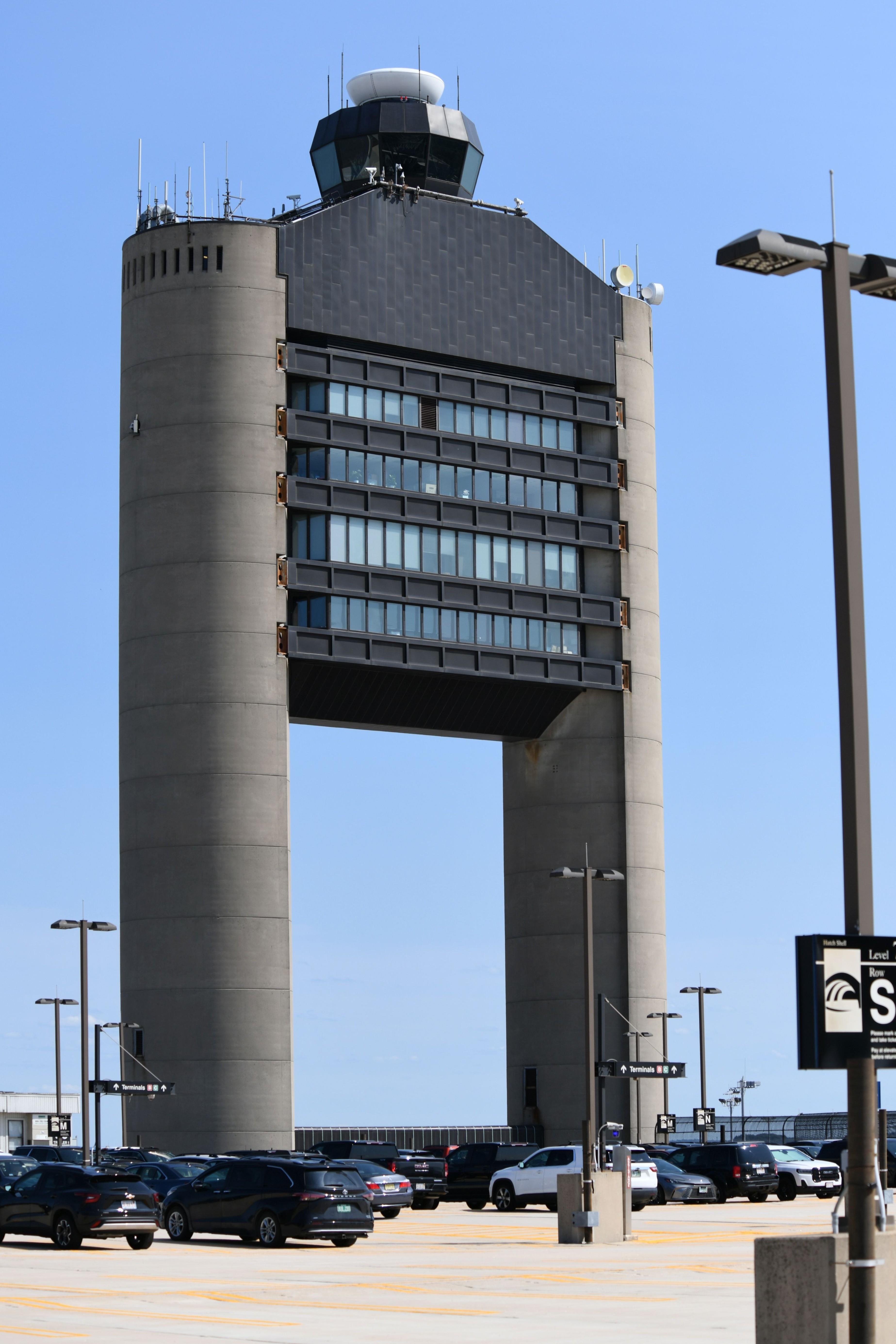
FerryPNL
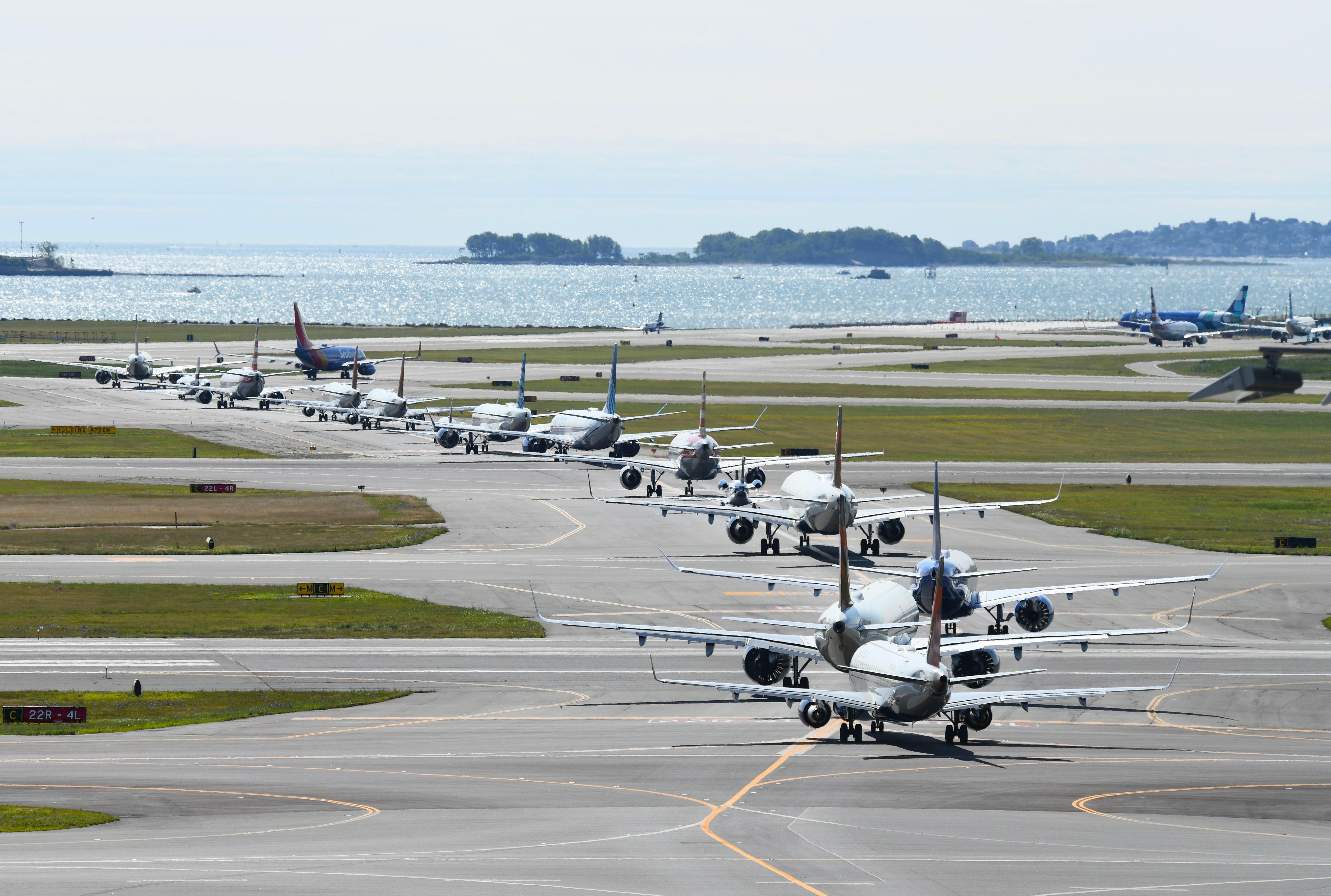
FerryPNL
Ferenc Kolos
Mark Pasqualino
| FAA Information Effective | 2026-07-09 |
| Airport Identifier | BOS |
| Airport Status | Operational |
| Longitude/Latitude |
71°0'23.0000"
W /
42°21'46.6000"
N -71.006389 / 42.362944 (Estimated) |
| Elevation | 19.10 ft / 5.82 m (Surveyed) |
| Land | 2384 acres |
| From nearest city | 1 nautical miles E of Boston, MA |
| Location | Suffolk County, MA |
| Magnetic Variation | 15W (2020) |
| Airport Use | Open to public |
| Wind indicator | Yes |
| Segmented Circle | No |
| Control Tower | ATCT |
| Beacon Color | White-Green (lighted land airport) |
| Landing fee charge | Yes |
| Sectional chart | NEW YORK |
| Region | ANE - New England |
| Responsible ARTCC | ZBW - BOSTON |
| Tie-in FSS | BDR - BRIDGEPORT |
| FSS on Airport | No |
| FSS Toll Free | 1-800-WX-BRIEF |
| NOTAMs Facility | BOS (NOTAM-d service available) |
| Certification type/date | 1972/09 |
Runway 04L/22R
| Dimensions | 7864 x 150 ft (2397 x 46 m) |
| Surface | ASPH (GOOD) |
| Surface treatment | Saw-cut or plastic Grooved |
| Edge lights | High |
| 04L | 22R | |
|---|---|---|
| Alignment | 20° | 200° |
| Physical elevation | 13.90 ft | 14.90 ft |
| Coordinates | 42.357988 / -71.014338 | 42.378299 / -71.004514 |
| Traffic pattern | Left | Left |
| Runway marking | Precision instrument , Good Condition | Precision instrument , Good Condition |
| VGSI | 4-light PAPI on left | 4-light PAPI on left |
| RVR equipment | touchdown, rollout | touchdown, rollout |
| Runway end lights | Yes | No |
| CL lights | Yes | Yes |
| TDZ lights | No | No |
Runway 04R/22L
| Dimensions | 10006 x 150 ft (3050 x 46 m) |
| Surface | ASPH (GOOD) |
| Surface treatment | Saw-cut or plastic Grooved |
| Edge lights | High |
| 04R | 22L | |
|---|---|---|
| Alignment | 20° | 200° |
| Physical elevation | 18.80 ft | 14.50 ft |
| Coordinates | 42.351058 / -71.011794 | 42.376900 / -70.999291 |
| Traffic pattern | Left | Left |
| Runway marking | Precision instrument , Good Condition | Precision instrument , Good Condition |
| ILS type | ILS/DME | ILS/DME |
| VGSI | 4-light PAPI on left |
4-light PAPI on right *UNUSBL BYD 7 DEGS LEFT OF CNTRLN. |
| RVR equipment | touchdown, midfield, rollout | touchdown, midfield, rollout |
| Approach light | ALSF2 | MALSF |
| Runway end lights | No | No |
| CL lights | Yes | Yes |
| TDZ lights | Yes | No |
Runway 09/27
| Dimensions | 7001 x 150 ft (2134 x 46 m) |
| Surface | ASPH (GOOD) |
| Surface treatment | Saw-cut or plastic Grooved |
| Edge lights | High |
| 09 | 27 | |
|---|---|---|
| Alignment | 77° | 257° |
| Physical elevation | 16.70 ft | 14.80 ft |
| Coordinates | 42.355754 / -71.012894 | 42.360216 / -70.987702 |
| Traffic pattern | Left | Left |
| Runway marking | Basic , Good Condition | Precision instrument , Good Condition |
| ILS type | ILS/DME | |
| VGSI | 4-light PAPI on left | |
| RVR equipment | touchdown, rollout | touchdown, rollout |
| Runway end lights | No | Yes |
| CL lights | Yes | Yes |
| TDZ lights | No | No |
Runway 14/32
| Dimensions | 5000 x 100 ft (1524 x 30 m) |
| Surface | ASPH (GOOD) |
| Surface treatment | Saw-cut or plastic Grooved |
| Edge lights | High |
| 14 | 32 | |
|---|---|---|
| Alignment | 125° | 305° |
| Physical elevation | 16.00 ft | 19.10 ft |
| Coordinates | 42.356598 / -71.023275 | 42.348599 / -71.008246 |
| Traffic pattern | Left | Left |
| Runway marking | Basic , Good Condition | Precision instrument , Good Condition |
| VGSI | 4-light PAPI on left | |
| Runway end lights | Yes |
Runway 15L/33R
| Dimensions | 2557 x 100 ft (779 x 30 m) |
| Surface | ASPH (GOOD) |
| Surface treatment | |
| Edge lights | Medium |
| 15L | 33R | |
|---|---|---|
| Alignment | 135° | 315° |
| Physical elevation | 14.80 ft | 14.00 ft |
| Coordinates | 42.373195 / -71.008612 | 42.368216 / -71.001945 |
| Traffic pattern | Left | Left |
| Runway marking | Basic , Good Condition | Basic , Good Condition |
| VGSI | 4-light PAPI on right | |
| Runway end lights | No | No |
Runway 15R/33L
| Dimensions | 10083 x 150 ft (3073 x 46 m) |
| Surface | ASPH (EXCELLENT) |
| Surface treatment | Saw-cut or plastic Grooved |
| Edge lights | High |
| 15R | 33L | |
|---|---|---|
| Alignment | 135° | 315° |
| Physical elevation | 18.90 ft | 15.70 ft |
| Coordinates | 42.374271 / -71.017892 | 42.354651 / -70.991586 |
| Traffic pattern | Left | Left |
| Runway marking | Precision instrument , Good Condition | Precision instrument , Good Condition |
| ILS type | ILS/DME | ILS/DME |
| VGSI | 4-light PAPI on left | 4-light PAPI on right |
| RVR equipment | touchdown, midfield, rollout | touchdown, midfield, rollout |
| Approach light | MALSR | ALSF2 |
| Runway end lights | No | No |
| CL lights | Yes | Yes |
| TDZ lights | Yes | Yes |
- BIRDS ON & INVOF ARPT.
- NMRS CRANES ON AND INVOF ARPT.
- RWY 14/32 UNIDIRECTIONAL; NO LDGS RWY 14; NO TKOFS RWY 32.
- PILOTS SHOULD COMPLETE ALL CALCULATIONS PRIOR TO PUSHBACK FROM GATE.
- RWY STATUS LGTS IN OPN.
- FOR NOISE ABATEMENT, RWY 15R IS PREFERRED FOR TKOF, RWY 33L IS PREFERRED FOR LDG. FOR MORE INFO ON NOISE ABATEMENT PROCS CALL 617-561-3333.
- THE USE OF THE RNAV SIDS AT BOSTON LOGAN ARE CRITICAL TO RDCG NOISE AND ACHIEVING OUR FLY QUIET GOALS. MASSPORT AND THE FAA ENCOURAGE PILOTS TO USE PUBLD RNAV FLIGHT PROCS AT BOSTON LOGAN ARPT WHENEVER POSS. ALL ACFT THAT HAVE REQD ALTS ABV 10,000 FT SHOULD BE FILING RNAV SIDS WITH FAA ATC. CTC MASSPORT'S NOISE ABATEMENT OFC AT 617-561-3333 WITH ANY QNS.
- NO RON PARKING FOR NON-TENANT CHARTER AIRCRAFT WITHOUT PRIOR MASSPORT PERMISSION.
- TERMINAL E; NORTH & SOUTH CARGO ARRIVALS CTC MASSPORT GATE CONTROL ON FREQ 131.1 BEFORE ENTERING/DEPARTING RAMP AREA.
- PRVDD THE DESIGNATION OF A MOVEMENT AREA ASSOCIATED WITH THE RELCTN IS COORDINATED WITH & DESIGNATED BY BOSTON ATCT; APPROPRIATE HOLD LINES ESTABLISHED & MARKED FOR SERVICE VEHICLE MOVEMENT & TAXILANES; RELCTN MARKED IN ACCORDANCE WITH FAA ADVISORY CIRCULAR/5930-2.