Oxnard Airport (OXR)
Oxnard Airport (OXR)
OXR
Oxnard Airport (OXR)
Oxnard, CA
Latest photos of Oxnard Airport (OXR)
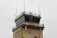
Doug Robertson
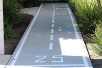
Doug Robertson
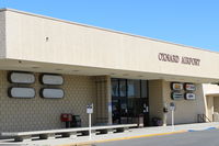
Doug Robertson
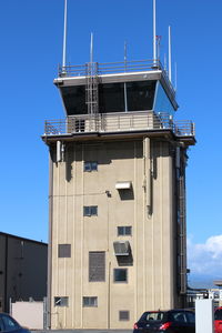
Doug Robertson
| FAA Information Effective | 2026-07-09 |
| Airport Identifier | OXR |
| Airport Status | Operational |
| Longitude/Latitude |
119°12'26.0150"
W /
34°12'2.9050"
N -119.207226 / 34.200807 (Estimated) |
| Elevation | 44.80 ft / 13.66 m (Surveyed) |
| Land | 230 acres |
| From nearest city | 1 nautical miles W of Oxnard, CA |
| Location | Ventura County, CA |
| Magnetic Variation | 15E (1980) |
| Airport Use | Open to public |
| Wind indicator | Yes |
| Segmented Circle | Yes |
| Control Tower | ATCT |
| Lighting Schedule | SEE RMK |
| Beacon Color | White-Green (lighted land airport) |
| Sectional chart | LOS ANGELES |
| Region | AWP - Western-Pacific |
| Responsible ARTCC | ZLA - LOS ANGELES |
| Tie-in FSS | HHR - HAWTHORNE |
| FSS on Airport | No |
| FSS Toll Free | 1-800-WX-BRIEF |
| NOTAMs Facility | OXR (NOTAM-d service available) |
| Certification type/date | 1973/05 |
Runway 07/25
| Dimensions | 5953 x 100 ft (1814 x 30 m) |
| Surface | ASPH (FAIR) |
| Surface treatment | |
| Edge lights | Medium |
| 07 | 25 | |
|---|---|---|
| Alignment | 91° | 271° |
| Physical elevation | 33.50 ft | 44.70 ft |
| Coordinates | 34.200881 / -119.217069 | 34.200732 / -119.197384 |
| Traffic pattern | Left | Left |
| Runway marking | Non-precision instrument , Fair Condition | Precision instrument , Fair Condition |
| ILS type | ILS | |
| VGSI | 4-light PAPI on right | 4-light PAPI on left |
| Approach light | MALSF | |
| Runway end lights | Yes | |
| CL lights | No | No |
| TDZ lights | No | No |
- NO TOUCH & GO, STOP & GO, OR TAXI BACK OPNS 2000-0700 LCL AFTER THREE CONSECUTIVE PATS, THEN TAXI BACK ONLY.
- ARPT OPNS LCTD AT BASE OF ATCT; CTC ON 134.95 WHEN ATCT CLSD OR CALL 805-947-6804.
- FLY FRIENDLY PROCS IN EFCT. AVOID HIGH PWR SETTINGS OVER RESIDENTIAL AREA. KEEP DNWND NORTH OF WOOLEY RD. TURN LEFT CROSSWIND LEG BFR CANAL OR FLY 1/2 MILE PAST SHORELINE. EXP RIGHT TFC RWY 25. SEE ARPT WEBSITE FOR FULL PROC.
- WILDLIFE ON AND INVOF AIRPORT.
- ARPT OPNS SUPVR ADDNL CTC DIR OF ARPTS - (805) 388-4200.
- PRCHT JUMPING SW CORNER OF ARPT.