Hale County Airport (PVW)
Hale County Airport (PVW)
PVW
Hale County Airport (PVW)
Plainview, TX
Latest photos of Hale County Airport (PVW)
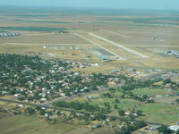
Craig Hackler
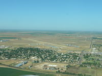
Craig Hackler
| FAA Information Effective | 2026-07-09 |
| Airport Identifier | PVW |
| Airport Status | Operational |
| Longitude/Latitude |
101°43'2.4100"
W /
34°10'5.3300"
N -101.717336 / 34.168147 (Estimated) |
| Elevation | 3374.00 ft / 1028.40 m (Surveyed) |
| Land | 600 acres |
| From nearest city | 1 nautical miles S of Plainview, TX |
| Location | Hale County, TX |
| Magnetic Variation | 09E (2000) |
| Airport Use | Open to public |
| Wind indicator | Yes |
| Segmented Circle | Yes |
| Control Tower | NON-ATCT |
| Lighting Schedule | SEE RMK |
| Beacon Color | White-Green (lighted land airport) |
| Landing fee charge | No |
| Sectional chart | DALLAS-FT WORTH |
| Region | ASW - Southwest |
| Responsible ARTCC | ZFW - FORT WORTH |
| Tie-in FSS | FTW - FORT WORTH |
| FSS on Airport | No |
| FSS Toll Free | 1-800-WX-BRIEF |
| NOTAMs Facility | PVW (NOTAM-d service available) |
Runway 04/22
| Dimensions | 5997 x 100 ft (1828 x 30 m) |
| Surface | ASPH (FAIR) |
| Surface treatment | |
| Edge lights | Medium |
| 04 | 22 | |
|---|---|---|
| Alignment | 51° | 231° |
| Physical elevation | 3372.60 ft | 3366.40 ft |
| Coordinates | 34.162400 / -101.725922 | 34.172830 / -101.710578 |
| Traffic pattern | Left | Left |
| Runway marking | Non-precision instrument , Good Condition | Non-precision instrument , Good Condition |
| VGSI |
4-box on left *UNUSBL BYD 7 DEG LEFT OF RWY CNTRLN. |
4-box on left |
| Runway end lights | Yes | Yes |
Runway 13/31
| Dimensions | 4000 x 100 ft (1219 x 30 m) |
| Surface | ASPH (EXCELLENT) |
| Surface treatment | |
| Edge lights | Medium |
| 13 | 31 | |
|---|---|---|
| Alignment | 138° | 318° |
| Physical elevation | 3372.40 ft | 3372.40 ft |
| Coordinates | 34.173034 / -101.720379 | 34.164862 / -101.711538 |
| Traffic pattern | Left | Left |
| Runway marking | Non-precision instrument , Good Condition | Non-precision instrument , Good Condition |