Winnemucca Municipal Airport (WMC)
Winnemucca Municipal Airport (WMC)
WMC
Winnemucca Municipal Airport (WMC)
Winnemucca, NV
Latest photos of Winnemucca Municipal Airport (WMC)
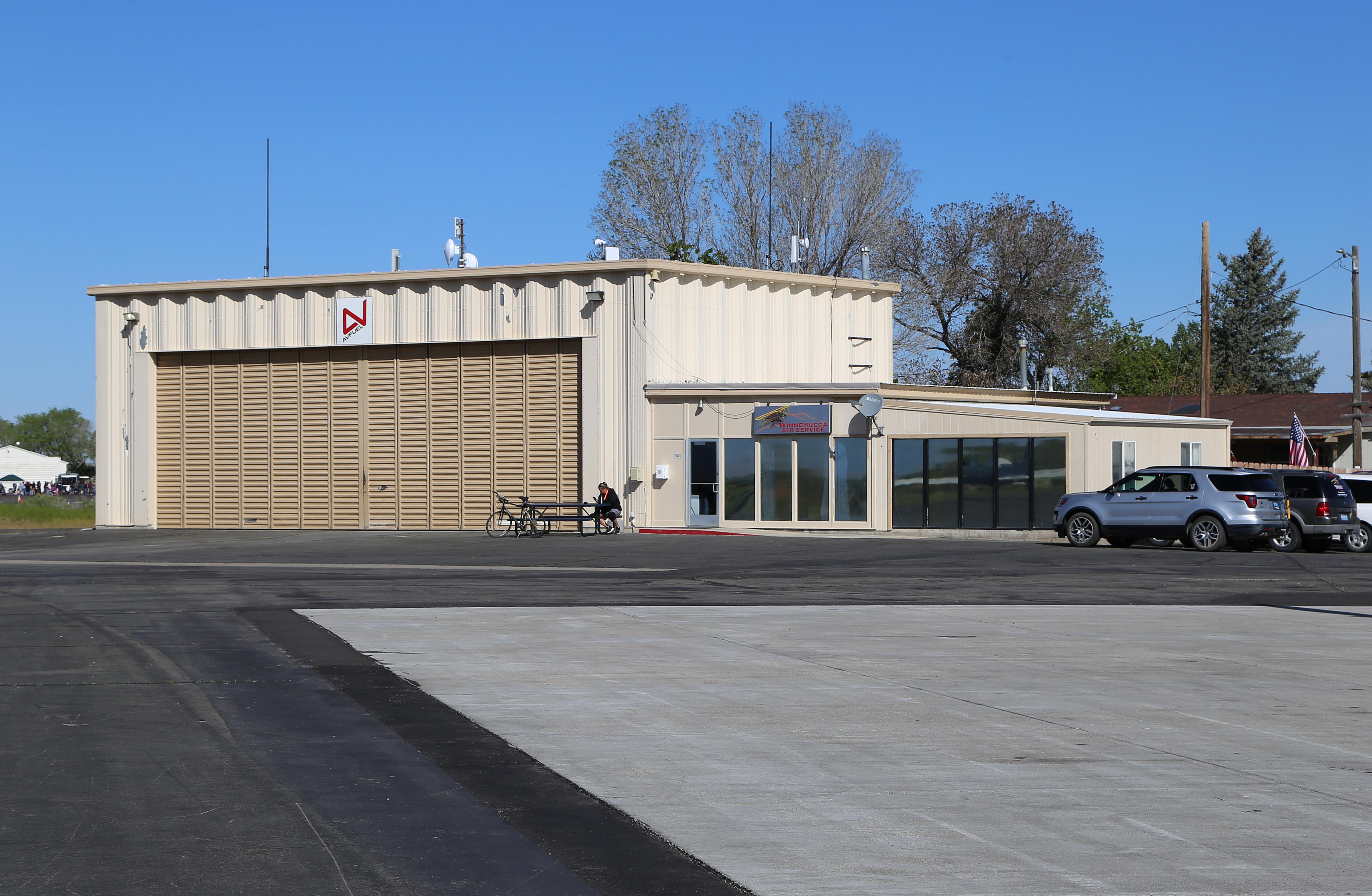
Olivier CORTOT
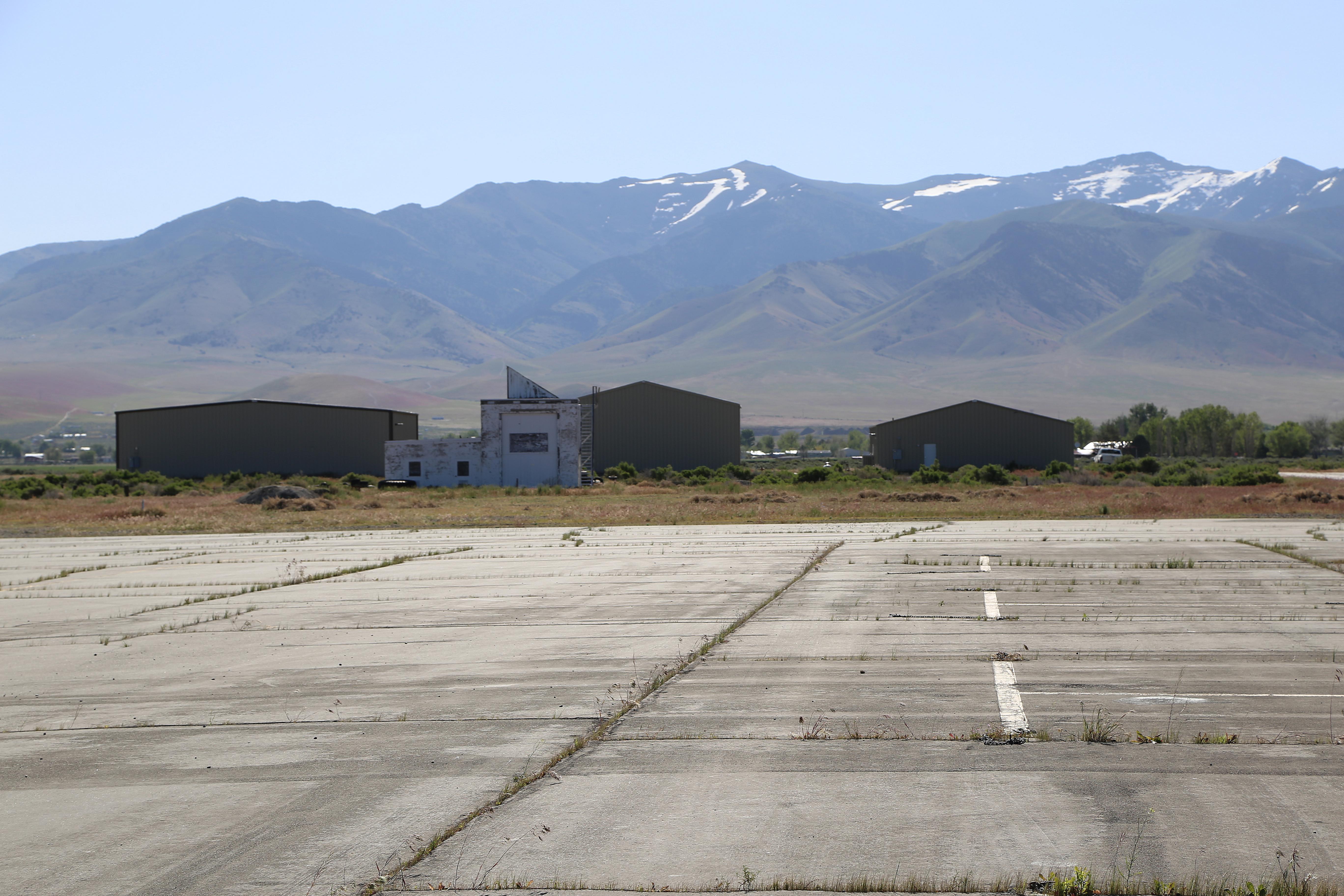
Olivier CORTOT
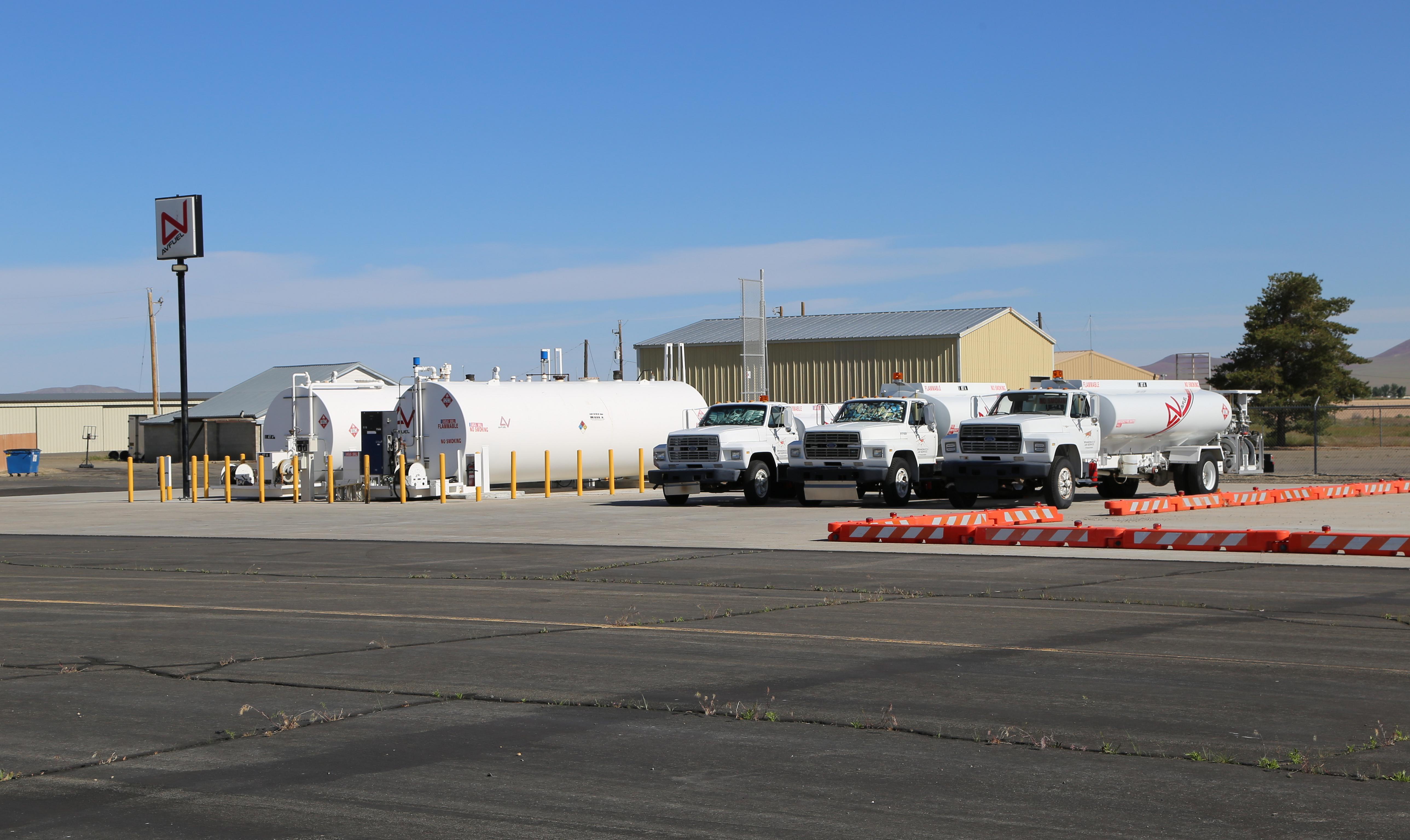
Spotterofburgundy
S B J
| FAA Information Effective | 2026-07-09 |
| Airport Identifier | WMC |
| Airport Status | Operational |
| Longitude/Latitude |
117°48'21.2000"
W /
40°53'47.8000"
N -117.805889 / 40.896611 (Estimated) |
| Elevation | 4307.60 ft / 1312.96 m (Surveyed) |
| Land | 968 acres |
| From nearest city | 5 nautical miles SW of Winnemucca, NV |
| Location | Humboldt County, NV |
| Magnetic Variation | 16E (1995) |
| Airport Use | Open to public |
| Wind indicator | Yes |
| Segmented Circle | Yes |
| Control Tower | NON-ATCT |
| Lighting Schedule | SEE RMK |
| Beacon Color | White-Green (lighted land airport) |
| Landing fee charge | No |
| Sectional chart | KLAMATH FALLS |
| Region | AWP - Western-Pacific |
| Traffic Pattern Alt | 800 ft |
| Responsible ARTCC | ZLC - SALT LAKE CITY |
| Tie-in FSS | RNO - RENO |
| FSS on Airport | No |
| FSS Toll Free | 1-800-WX-BRIEF |
| NOTAMs Facility | WMC (NOTAM-d service available) |
Runway 02/20
| Dimensions | 4800 x 75 ft (1463 x 23 m) |
| Surface | ASPH (GOOD) |
| Surface treatment | |
| Edge lights | Medium |
| 02 | 20 | |
|---|---|---|
| Alignment | 40° | 220° |
| Physical elevation | 4303.00 ft | 4307.40 ft |
| Coordinates | 40.890976 / -117.806136 | 40.901121 / -117.795067 |
| Traffic pattern | Left | Left |
| Runway marking | Basic , Fair Condition | Basic , Fair Condition |
| VGSI | 2-light PAPI on left | |
| Runway end lights | No | Yes |
Runway 14/32
| Dimensions | 7000 x 100 ft (2134 x 30 m) |
| Surface | ASPH (GOOD) |
| Surface treatment | |
| Edge lights | Medium |
| 14 | 32 | |
|---|---|---|
| Alignment | 160° | 340° |
| Physical elevation | 4301.40 ft | 4303.20 ft |
| Coordinates | 40.906004 / -117.813948 | 40.888001 / -117.805120 |
| Traffic pattern | Left | Left |
| Runway marking | Non-precision instrument , Fair Condition | Non-precision instrument , Fair Condition |
| VGSI | 2-light PAPI on left | 2-light PAPI on left |
| Runway end lights | Yes | Yes |
Runway H1
| Dimensions | 25 x 25 ft (8 x 8 m) |
| Surface | CONC (GOOD) |
| Surface treatment | |
| Edge lights | FLD |
| H1 | ||
|---|---|---|
| Physical elevation | 4300.00 ft | ft |
| Coordinates | 40.903044 / -117.803975 | 0.000000 / 0.000000 |
| Traffic pattern | Left | Left |
| Runway marking | Basic , Good Condition |
Runway H2
| Dimensions | 25 x 25 ft (8 x 8 m) |
| Surface | CONC (GOOD) |
| Surface treatment | |
| Edge lights | FLD |
| H2 | ||
|---|---|---|
| Physical elevation | 4300.00 ft | ft |
| Coordinates | 40.902983 / -117.803528 | 0.000000 / 0.000000 |
| Traffic pattern | Left | Left |
| Runway marking | Basic , Good Condition |
- FULL STRENGTH PAVEMENT AREAS INCLUDE N 1000 FT OF PARALLEL TWY (RWY 14/32 TO TWY A); W 1000 FT OF TWY A; 600 FT OF N/S TWR (FM TWY A).
- MOUNTAINS IN SW QUADRANT.
- CALL FBO FOR CURRENT RWY CONDS IN WINTER MONTHS.
- FOR CD IF UNA TO CTC ON FSS FREQ, CTC SALT LAKE ARTCC AT 801-320-2568.
- CONSTRUCTED PRIOR TO 5/15/59.