Bend Municipal Airport (BDN / KBDN) — Bend, OR
Bend Municipal Airport (BDN)
BDN
Bend Municipal Airport (BDN)
Bend, OR
Latest photos of Bend Municipal Airport (BDN)
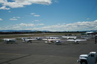
D. L. Cooke
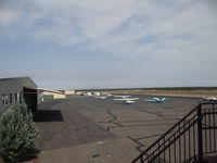
Jack Poelstra
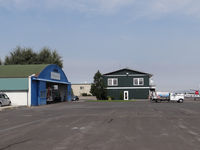
Jack Poelstra
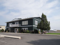
Jack Poelstra
Bend Municipal Airport (BDN/KBDN) is a public-use airport located in Bend, OR. The airport sits at an elevation of 3459 feet above mean sea level. It features 1 runway. Aviation communications are supported by 5 published radio frequencies. The gallery includes 4 photos of operations and aircraft at the airport.
| FAA Information Effective | 2026-09-03 |
| Airport Identifier | BDN |
| Airport Status | Operational |
| Longitude/Latitude |
121°12'0.7960"
W /
44°5'40.4190"
N -121.200221 / 44.094561 (Estimated) |
| Elevation | 3459.40 ft / 1054.43 m (Surveyed) |
| Land | 415 acres |
| From nearest city | 5 nautical miles NE of Bend, OR |
| Location | Deschutes County, OR |
| Magnetic Variation | 14E (2025) |
| Airport Use | Open to public |
| Wind indicator | Yes |
| Segmented Circle | Yes |
| Control Tower | NON-ATCT |
| Lighting Schedule | SEE RMK |
| Beacon Color | White-Green (lighted land airport) |
| Landing fee charge | No |
| Sectional chart | KLAMATH FALLS |
| Region | ANM - Northwest Mountain |
| Responsible ARTCC | ZSE - SEATTLE |
| Tie-in FSS | MMV - MC MINNVILLE |
| FSS on Airport | No |
| FSS Toll Free | 1-800-WX-BRIEF |
| NOTAMs Facility | MMV (NOTAM-d service available) |
Runway 17/35
| Dimensions | 5201 x 75 ft (1585 x 23 m) |
| Surface | ASPH (GOOD) |
| Surface treatment | |
| Edge lights | Medium |
| 17 | 35 | |
|---|---|---|
| Alignment | 180° | 360° |
| Physical elevation | 3403.00 ft | 3459.40 ft |
| Coordinates | 44.101692 / -121.200214 | 44.087429 / -121.200227 |
| Traffic pattern | Right | Left |
| Runway marking | Non-precision instrument , Good Condition | Non-precision instrument , Good Condition |
| VGSI | 4-light PAPI on left | 4-light PAPI on left |
| Runway end lights | Yes | Yes |
- BOTH TWYS PARALLEL TO RY 17/35 MKD BY REFLECTORS.
- RP FIXED WING TO RMN WEST OF RWY USING RP RWY 17 AND LP RWY 35. ROTOR WING TO RMN EAST OF RWY AND USE RP 35 AND LP 17. FIXED WING ACFT-NO TURNS BFR END OF RWY.
- FOR CD CTC SEATTLE ARTCC AT 253-351-3694.
- CALM WIND RWY 17.
- NOISE ABATEMENT PROCEDURES IN EFFECT, CALL FBO AT (541) 388-0019
- BE AWARE, INTENSE HELICOPTER TRAINING CONTINUALLY IN PROGRESS.
- EXTENSIVE GEESE ACTIVITY REPORTED ON AND NEAR ARPT YEAR AROUND. DEER AND OTHER WILDLIFE MAY BE PRESENT.
- APRON AREAS MAY BE HEAVILY CONGESTED AT TIMES WITH SVC VEHICLES, PEDESTRIAN AND AUTOMOBILE TFC.
- TAXILANES AND APRON ARE NSTD. ACFT MAY REQUIRE WING WALKERS, PARKING GUIDANCE AND/OR TUGGING AT PILOT DISCRETION TO INSURE ACFT CLEARANCE FROM OBSTACLES.
- TO AVOID PROPERTY DAMAGE EXERCISE JUDGEMENT AND COURTESY DURING RUN-UP IN VICINITY OF HANGARS.
- EXISTED PRIOR TO 1959.