Summerside Airport (CYSU) — Summerside
Summerside Airport (CYSU)
CYSU
Summerside Airport (CYSU)
Summerside,
Latest photos of Summerside Airport (CYSU)
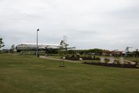
Andy Graf-VAP
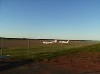
Peter Pasieka
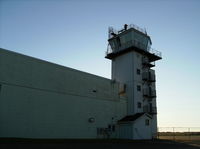
Peter Pasieka
Summerside Airport (CYSU) is a public-use airport located in Summerside. The airport sits at an elevation of 56 feet above mean sea level. It features 1 runway. The gallery includes 3 photos of operations and aircraft at the airport.
| FAA Information Effective | 2026-09-03 |
| Airport Identifier | CYSU |
| Airport Status | Operational |
| Longitude/Latitude |
63°50'1.0000"
W /
46°26'26.0000"
N -63.833611 / 46.440556 (Estimated) |
| Elevation | 56.00 ft / 17.07 m (Estimated) |
| From nearest city | 4 nautical miles NNW of Summerside, |
| Location | P.e.i., Canada County, CN |
| Magnetic Variation | 20W () |