Fallbrook Community Airpark Airport (L18)
Fallbrook Community Airpark Airport (L18)
L18
Fallbrook Community Airpark Airport (L18)
Fallbrook, CA
Latest photos of Fallbrook Community Airpark Airport (L18)
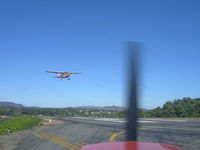
COOL LAST SAMURAI
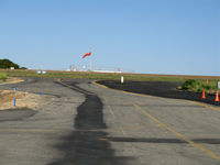
Steve Nation
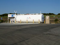
Steve Nation
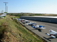
Steve Nation
| FAA Information Effective | 2026-07-09 |
| Airport Identifier | L18 |
| Airport Status | Operational |
| Longitude/Latitude |
117°15'1.0270"
W /
33°21'16.8270"
N -117.250285 / 33.354674 (Estimated) |
| Elevation | 710.90 ft / 216.68 m (Estimated) |
| Land | 290 acres |
| From nearest city | 2 nautical miles S of Fallbrook, CA |
| Location | San Diego County, CA |
| Magnetic Variation | 13E (1985) |
| Airport Use | Open to public |
| Wind indicator | Yes |
| Segmented Circle | Yes |
| Control Tower | NON-ATCT |
| Lighting Schedule | SEE RMK |
| Beacon Color | White-Green (lighted land airport) |
| Landing fee charge | No |
| Sectional chart | LOS ANGELES |
| Region | AWP - Western-Pacific |
| Responsible ARTCC | ZLA - LOS ANGELES |
| Tie-in FSS | SAN - SAN DIEGO |
| FSS on Airport | No |
| FSS Toll Free | 1-800-WX-BRIEF |
| NOTAMs Facility | L18 (NOTAM-d service available) |
Runway 18/36
| Dimensions | 2150 x 60 ft (655 x 18 m) |
| Surface | ASPH (GOOD) |
| Surface treatment | Rubberized Friction Seal Coat |
| Edge lights | Medium |
| 18 | 36 | |
|---|---|---|
| Alignment | 194° | 14° |
| Physical elevation | 710.70 ft | 698.60 ft |
| Coordinates | 33.357538 / -117.249420 | 33.351810 / -117.251151 |
| Traffic pattern | Left | Right |
| Runway marking | Basic , Good Condition | Basic , Good Condition |
| VGSI | pulsating/steady burning on left | |
| Runway end lights | No | No |
| CL lights | No | No |
| TDZ lights | No | No |
Runway H1
| Dimensions | 45 x 45 ft (14 x 14 m) |
| Surface | ASPH-CONC (GOOD) |
| Surface treatment |
| H1 | ||
|---|---|---|
| Physical elevation | 697.00 ft | ft |
| Coordinates | 33.351869 / -117.250411 | 0.000000 / 0.000000 |
| Traffic pattern | Left | Left |
- NO SAFETY AREA AVBL DUE TO ABRUPT DROP-OFF EACH END OF RWY.
- CONC HELIPAD CLOSED TO UNAUTHORIZED AIRCRAFT.
- AP ADMIN BLDG EAST SIDE OF RWY; FUELING AREA WEST OF AFLD.
- PART 77 OBSTRUCTION, +15 FT HILL 100 FT E OF RWY 18 CNTRLN.
- ROTORCRAFT FUEL UNAVBL. RCMDD HEL TFC PAT APCH AND DEP AT 492 FT AGL TO AND FROM EAST AT MID RWY. HEL TGL RSTRD TO RWY.
- HOVERS, SKID LANDINGS, AND AUTO-ROTATIONS PROHIBITED.
- RWY 18 CALM WIND RWY
- TRAN PRKG LCTD ON SE CORNER OF AFLD.
- OCNL COYOTE ON OR IN THE VICINITY OF RWY AND TWY.
- ACFT SHALL SELF-ANNOUNCE ON CTAF PRIOR TO LDG OR TKOF.
- FOR CD CTC SOCAL APCH AT 800-448-3724.
- NOISE ABATEMENT: TKOFS CLIMB STRAIGHT AHEAD TO 1200 FT MSL. RWY 18 TURN CROSSWIND WHEN ABEAM WATER TANK 1.1 MI ESE OF RWY. RWY 18 EXTEND DOWNWIND LEG TO ALLOW 1/3 MILE FINAL APCH. FLY DOWNWIND EAST OF HIGH SCHOOL.
- PPR FOR ALL ACFT OVER 12000 LBS AND ALL MIL ACFT, CTC AMGR.
- TWY HOLD BARS NON -STD DIST FM RY EDGE.
- MIL BASE SW, FRQ MIL HELS IN VICINITY OF ARPT.