Salmon Bar Airport (O48)

O48
Salmon Bar Airport (O48)
Imnaha, OR
Latest photos of Salmon Bar Airport (O48)
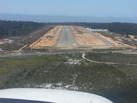
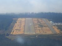
O48, Short Final to 29, photo by Darren Galerkin
Darren Galerkin
O48, Final for Runway 29, photo by JT$
JT$
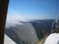
O48, Little River with Fog, photo by JT$
JT$
Location & QuickFacts
FAA Information Effective 2026-07-09
Airport Identifier O48
Airport Status Operational
Longitude/Latitude 116°47'52.1400" W / 45°51'36.9450" N
-116.797817 / 45.860262 (Estimated)
Elevation 947.00 ft / 288.65 m (Estimated)
From nearest city 18 nautical miles ENE of Imnaha, OR
Location Wallowa County, OR
Owner & Manager
Ownership Publicly owned
Owner UNITED STATES FOREST SERVICE-WWF
Address 59973 DOWNS RD.
LAGRANDE, OR 97850
Phone number 541-963-7171
Manager UNITED STATES FOREST SERVICE-WWF
Address 59973 DOWNS RD.
LAGRANDE, OR 97850
Phone number 541-963-7171
Airport Operations and Facilities
Airport Use Open to public
Control Tower NON-ATCT
Sectional chart GREAT FALLS
Region ANM - Northwest Mountain
Responsible ARTCC ZSE - SEATTLE
Tie-in FSS MMV - MC MINNVILLE
FSS Toll Free 1-800-WX-BRIEF
NOTAMs Facility MMV
Airport Communications
CTAF 122.9 MHz
Runway Information
Runway 14/32
Dimensions 762 x 30 ft (232 x 9 m)
Surface TURF
Surface treatment
14 32
Physical elevation 943.00 ft 942.00 ft
Coordinates 45.861214 / -116.798433 45.859311 / -116.797200
Traffic pattern Left Left