Area 52 Airport (PA35) — Bally, PA
Area 52 Airport (PA35)
PA35
Area 52 Airport (PA35)
Bally, PA
Latest photos of Area 52 Airport (PA35)
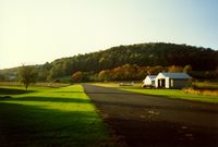
scotch-canadian
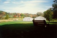
scotch-canadian
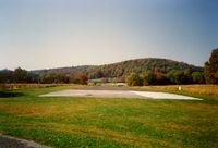
scotch-canadian
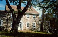
scotch-canadian
Area 52 Airport (PA35) is a private-use airport located in Bally, PA. The airport sits at an elevation of 660 feet above mean sea level. It features 1 runway. Aviation communications are supported by 2 published radio frequencies. The gallery includes 5 photos of operations and aircraft at the airport.
| FAA Information Effective | 2026-09-03 |
| Airport Identifier | PA35 |
| Airport Status | Operational |
| Longitude/Latitude |
75°37'33.6740"
W /
40°25'55.3460"
N -75.626021 / 40.432041 (Estimated) |
| Elevation | 660.00 ft / 201.17 m (Estimated) |
| From nearest city | 3 nautical miles NW of Bally, PA |
| Location | Berks County, PA |
| Magnetic Variation | 11W (1985) |
| Airport Use | Private |
| Wind indicator | Yes |
| Segmented Circle | No |
| Control Tower | NON-ATCT |
| Lighting Schedule | SEE RMK |
| Beacon Color | White-Green (lighted land airport) |
| Landing fee charge | No |
| Sectional chart | NEW YORK |
| Region | AEA - Eastern |
| Responsible ARTCC | ZNY - NEW YORK |
| Tie-in FSS | IPT - WILLIAMSPORT |
| FSS on Airport | No |
| FSS Toll Free | 1-800-WX-BRIEF |