Santa Paula Airport Photo
Photo ID: AP2630
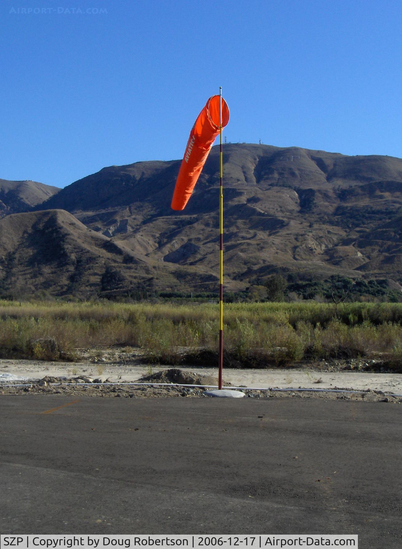
Windsock, Runway 04 end of 04-22, Santa Clara Riverbed, South Mountain in background. Elevation: 2,263 ft. South Mountain marks the western terminus of the Santa Susana Mountain Range.
Photo Info
| Airport | Santa Paula Airport |
|---|---|
| Photographer |
Doug Robertson
Contact
|
| Shot Date | 2006-12-17 |
| Upload Date | 2006-12-17 |
| Views | 972 |
EXIF Data
| Camera Make | Hewlett-Packard |
|---|---|
| Camera Model | HP PhotoSmart R607 (V01.00) |
| Shutter Speed | 1/467 sec |
| Aperture | f/5.3 |
| ISO | 3216 |
| Focal Length | 9.2 mm |
| Exposure Bias | 0 EV |
| Metering Mode | Unknown (3072) |
| White Balance | Manual |
| Dimensions | 1312 × 1792 |
| Date Taken | 2006-12-17 13:25:49 |
More photos of Santa Paula Airport
Total 1165 photos.
View all photos

Doug Robertson

Doug Robertson

Doug Robertson

Doug Robertson

Doug Robertson