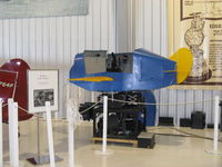
Anoka County/blaine (janes Fld) Airport Photo
Photo ID: AP18556
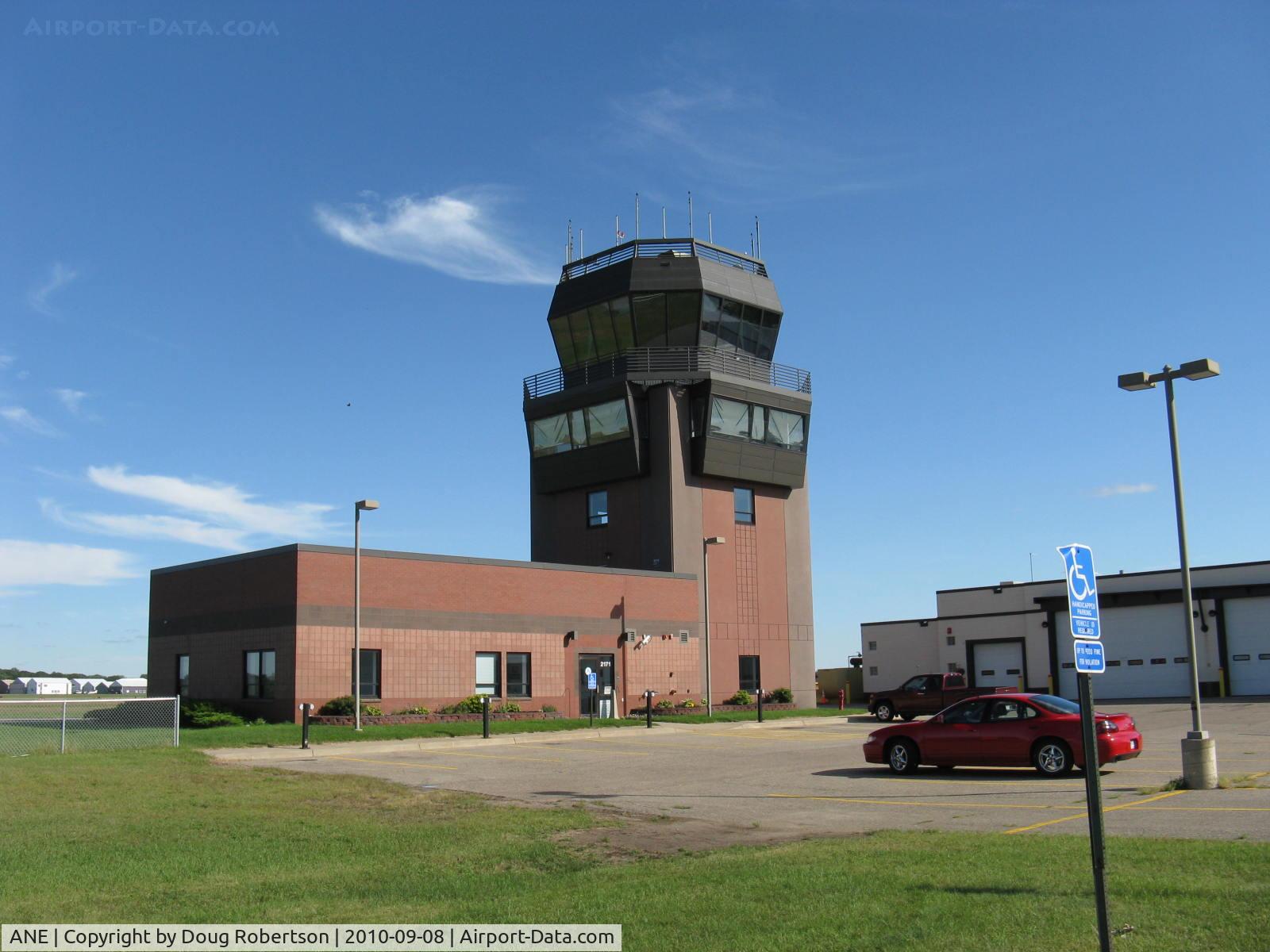
Minnesota Air Traffic Control Tower.When I learned to fly here in 1965/66 there was no tower. I unexpectedly soloed at -11F temperature here from the crosswind runway. Good lift?-in spades!!
Photo Info
| Airport | Anoka County/blaine (janes Fld) Airport |
|---|---|
| Photographer |
Doug Robertson
Contact
|
| Shot Date | 2010-09-08 |
| Upload Date | 2010-09-21 |
| Views | 1,571 |
EXIF Data
| Camera Make | Canon |
|---|---|
| Camera Model | Canon PowerShot A720 IS |
| Shutter Speed | 1/640 sec |
| Aperture | f/4 |
| ISO | 80 |
| Focal Length | 5.8 mm |
| Exposure Bias | 0 EV |
| Metering Mode | Pattern |
| White Balance | Auto |
| Dimensions | 1600 × 1200 |
| Date Taken | 2010-09-08 14:22:29 |
More photos of Anoka County/blaine (janes Fld) Airport
Total 25 photos.
View all photos
Mitch Sando

Timothy Aanerud
Timothy Aanerud
Ted Berg
Doug Robertson