Shelter Cove Airport Photo
Photo ID: AP35220
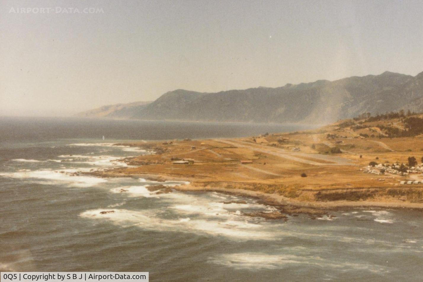
Passing by Shelter Cove on a windy day in 1982. Big Flat (seen in 2 of my N8059X pictures) is in the top left of pic where the dark part of the mountain range ends.It is now Kings Range National Conservation Area known as The Lost Coast.
Photo Info
| Airport | Shelter Cove Airport |
|---|---|
| Photographer |
S B J
Contact
|
| Upload Date | 2014-05-29 |
| Views | 1,240 |
EXIF Data
| Date Taken | 2014-05-29 12:05:57 |
|---|
More photos of Shelter Cove Airport
Total 9 photos.
View all photos
. Fatal to him and 16 others.7 survied. - by S B J")
S B J

S B J

ROBERT HERRERA
 now. - by S B J")
S B J

ROBERT HERRERA