Gravelly Valley Airport Photo
Photo ID: AP35567
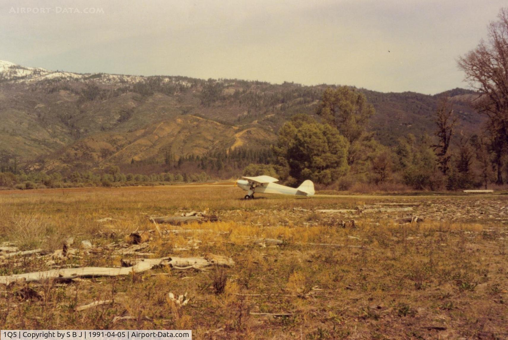
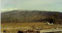
N39932 at Lake Pillsbury in 1991. View is to the north and down the runway. Most pilots take off in the opposite direction toward the lake to avoid the higher terrain. Notice driftwood near 932 which is from high water.
Photo Info
| Airport | Gravelly Valley Airport |
|---|---|
| Photographer |
S B J
Contact
|
| Shot Date | 1991-04-05 |
| Upload Date | 2014-07-17 |
| Views | 530 |
EXIF Data
| Date Taken | 2014-05-21 08:48:19 |
|---|
More photos of Gravelly Valley Airport
Total 23 photos.
View all photos
S B J
S B J
S B J
S B J
S B J