Gravelly Valley Airport (1Q5)
Gravelly Valley Airport (1Q5)
1Q5
Gravelly Valley Airport (1Q5)
Upper Lake, CA
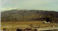
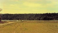
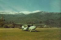
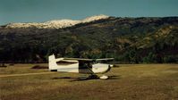
Latest photos of Gravelly Valley Airport (1Q5)
S B J
S B J
S B J
S B J
| FAA Information Effective | 2026-07-09 |
| Airport Identifier | 1Q5 |
| Airport Status | Operational |
| Longitude/Latitude |
122°57'16.6000"
W /
39°27'2.6000"
N -122.954611 / 39.450722 (Estimated) |
| Elevation | 1900.00 ft / 579.12 m (Estimated) |
| Land | 50 acres |
| From nearest city | 17 nautical miles N of Upper Lake, CA |
| Location | Lake County, CA |
| Magnetic Variation | 17E (1985) |
| Airport Use | Open to public |
| Wind indicator | Yes |
| Segmented Circle | Yes |
| Control Tower | NON-ATCT |
| Landing fee charge | No |
| Sectional chart | SAN FRANCISCO |
| Region | AWP - Western-Pacific |
| Traffic Pattern Alt | 800 ft |
| Responsible ARTCC | ZOA - OAKLAND |
| Tie-in FSS | OAK - OAKLAND |
| FSS on Airport | No |
| FSS Toll Free | 1-800-WX-BRIEF |
| NOTAMs Facility | OAK (NOTAM-d service available) |
- NO LNDG ON RY 19 DUE TO HILL NE OF ARPT.
- RWY IS UNPAVED; THERE MAY BE RUTS AND LARGE ROCKS ON RWY.
- NO TKOF ON RY 01 DUE TO HILL NE OF ARPT.
- CAUTION: HANG GLIDER OPS; PARTICULARLY SUMMER MONTHS.
- CAUTION: DO NOT LAND S OF HULL MOUNTAIN ROAD.
- TREES PENETRATE THE TRNSL SFC ON BOTH SIDES OF THE ARPT.
- BE ALERT FOR OCNL WILDLIFE ON RY.
- FOR CD CTC OAKLAND ARTCC AT 510-745-3380.
- E111: PREDATES 1958 FA ACT.