Port Stanley Airport Photo
Photo ID: AP36504
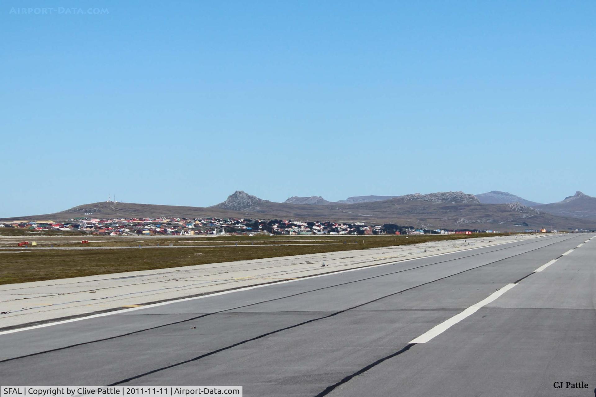
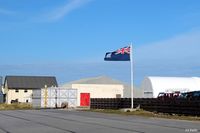
A long view of the town of Port Stanley taken from the airfield (SFAL). Such is the clarity of the air in the South Atlantic that it is difficult to judge distance. For example the mountains in the background are at least 12km away.
Location:
Photo Info
| Airport | Port Stanley Airport |
|---|---|
| Photographer |
Clive Pattle
Contact
|
| Shot Date | 2011-11-11 |
| Upload Date | 2014-10-28 |
| Views | 406 |
EXIF Data
| Camera Make | Canon |
|---|---|
| Camera Model | Canon EOS 600D |
| Lens | EF-S18-55mm f/3.5-5.6 IS II |
| Shutter Speed | 1/800 sec |
| Aperture | f/7.1 |
| ISO | 100 |
| Focal Length | 55 mm |
| Exposure Bias | 0 EV |
| Metering Mode | Pattern |
| White Balance | Auto |
| Dimensions | 5184 × 3456 |
| Date Taken | 2012-11-12 12:23:57 |
More photos of Port Stanley Airport
Total 34 photos.
View all photos
Clive Pattle
Clive Pattle
Clive Pattle
Clive Pattle
Clive Pattle