Gravelly Valley Airport Photo

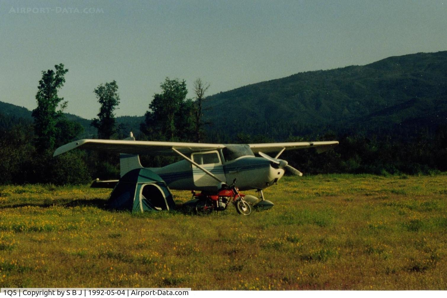
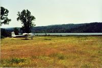
Camping at Lake Pillsbury,Ca in 1992. The wonderful C172 made this (bring Honda) possible.There are a lot of miles of dirt road to explore around the lake and to the top of Mt Hull.
Photo Info
Airport Gravelly Valley Airport
Photographer
S B J Contact
Shot Date 1992-05-04
Upload Date 2014-11-02
Views 574
EXIF Data
Date Taken 2014-05-20 17:35:29
More photos of Gravelly Valley Airport
Total 23 photos. View all photos
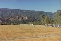
1Q5, Looking at Gravelly Valley airport from the north to the south.The top of Hull Mt.(6873 feet) is seen on the right.The elevation of 1Q5 is 1900 feet. The fire watch building burned down in 1992., photo by S B J
S B J
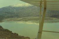
1Q5, Nice when you can park your plane near the water., photo by S B J
S B J
1Q5, View is from the south to the north-northwest and Hull Mt with its winter covering of snow. This picture shows why for some aircraft, it is a one way strip. Good size hill to climb over., photo by S B J
S B J
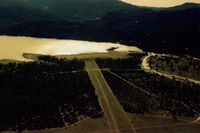
1Q5, This picture shows the road that crosses the south end of runway.While there are stop signs,vehicles do not always stop.Landing, a pilot should be prepared for this!!Seen more then one pilot startled when a car appeared when landing., photo by S B J
S B J
1Q5, 69E at Lake Pillsbury in the spring time.Nice!!, photo by S B J
S B J