Santa Paula Airport Photo
Photo ID: AP37632
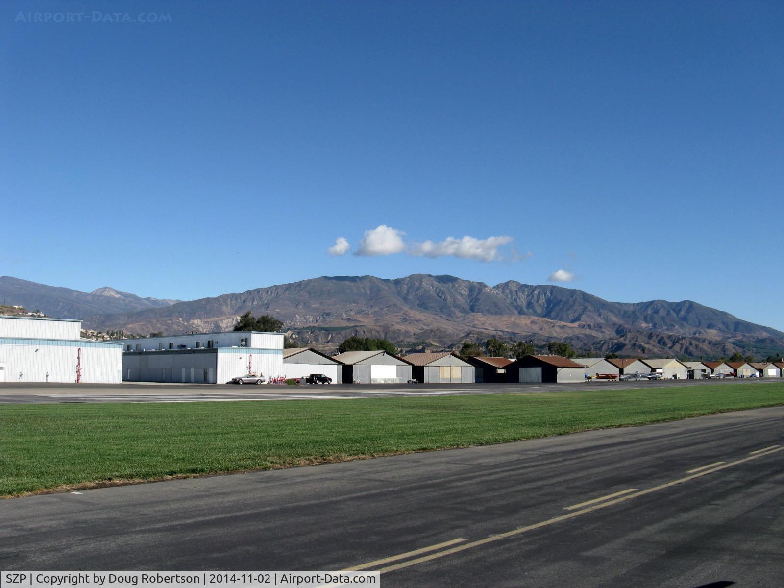
Newer and older hangars. Santa Paula Peak at 4,957' in center right background. Hines Peak at 6,704' of Topa Topa Mountains beyond saddle barely shows near left side.
Photo Info
| Airport | Santa Paula Airport |
|---|---|
| Photographer |
Doug Robertson
Contact
|
| Shot Date | 2014-11-02 |
| Upload Date | 2015-06-03 |
| Views | 404 |
EXIF Data
| Camera Make | Canon |
|---|---|
| Camera Model | Canon PowerShot A720 IS |
| Shutter Speed | 1/800 sec |
| Aperture | f/4 |
| ISO | 80 |
| Focal Length | 5.8 mm |
| Exposure Bias | 0 EV |
| White Balance | Auto |
| Dimensions | 1600 × 1200 |
| Date Taken | 2014-11-02 10:14:48 |
More photos of Santa Paula Airport
Total 1165 photos.
View all photos

Doug Robertson

Doug Robertson

Doug Robertson

Doug Robertson

Doug Robertson