Santa Paula Airport (SZP) Photo
Photo ID: AP43572
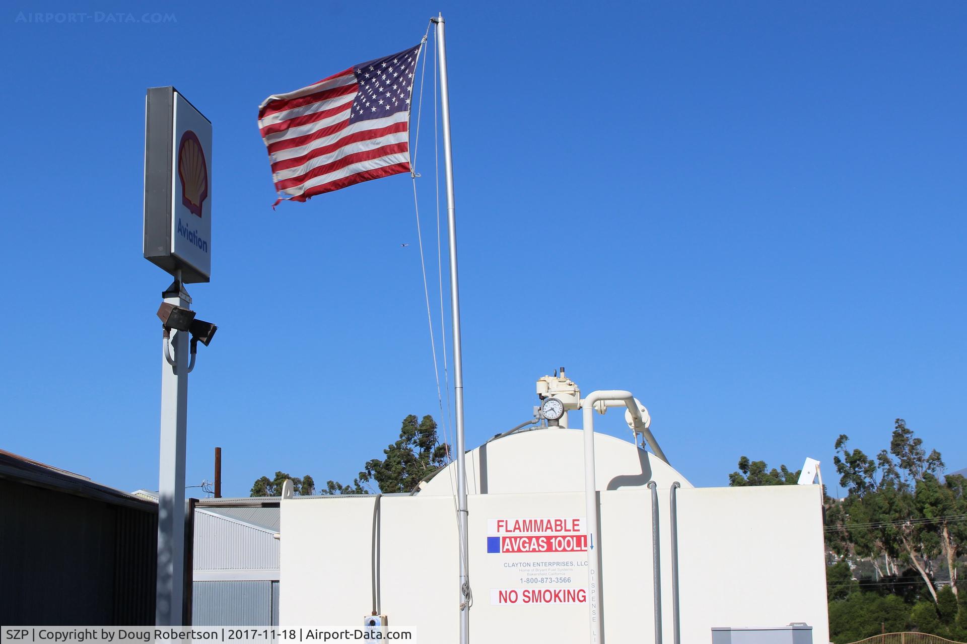
Flag at SZP Fuel Dock showing stiff Santa Ana wind. Rwy 04 in use today.
Photo Info
| Airport | Santa Paula Airport |
|---|---|
| Photographer |
Doug Robertson
Contact
|
| Shot Date | 2017-11-18 |
| Upload Date | 2017-11-18 |
| Views | 439 |
EXIF Data
| Camera Make | Canon |
|---|---|
| Camera Model | Canon EOS REBEL SL1 |
| Shutter Speed | 1/250 sec |
| Aperture | f/11 |
| ISO | 100 |
| Focal Length | 32 mm |
| Exposure Bias | 0 EV |
| White Balance | Auto |
| Dimensions | 4148 × 2764 |
| Date Taken | 2017-11-18 11:58:24 |
More photos of Santa Paula Airport
Total 1165 photos.
View all photos
Doug Robertson

Doug Robertson
Doug Robertson

Doug Robertson

Doug Robertson