Santa Paula Airport Photo
Photo ID: AP43805
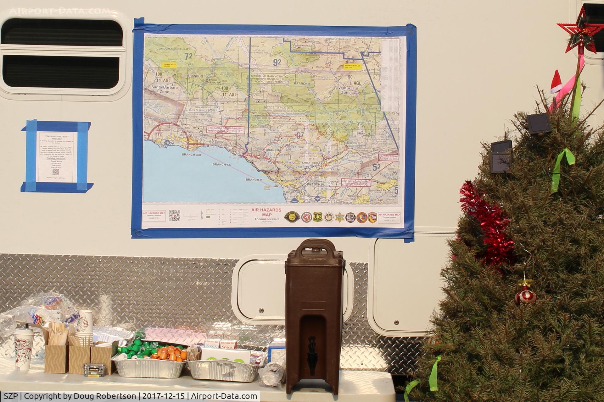
Thomas Fire Base Support Center-Southern California Map showing the two Counties of the Thomas Fire-Ventura County and Santa Barbara County.
Photo Info
| Airport | Santa Paula Airport |
|---|---|
| Photographer |
Doug Robertson
Contact
|
| Shot Date | 2017-12-15 |
| Upload Date | 2017-12-28 |
| Views | 354 |
EXIF Data
| Camera Make | Canon |
|---|---|
| Camera Model | Canon EOS REBEL SL1 |
| Shutter Speed | 1/160 sec |
| Aperture | f/11 |
| ISO | 100 |
| Focal Length | 30 mm |
| Exposure Bias | 0 EV |
| White Balance | Auto |
| Dimensions | 2654 × 1769 |
| Date Taken | 2017-12-15 11:32:10 |
More photos of Santa Paula Airport
Total 1165 photos.
View all photos

Doug Robertson

Doug Robertson

Doug Robertson

Ron Eyanson

Doug Robertson