Powell River Airport, Powell River, British Columbia, Canada
Powell River Airport
CYPW/YPW
Powell River Airport
Powell River, British Columbia, Canada
Latest photos of Powell River Airport, Powell River, British Columbia, Canada
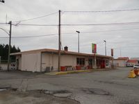
Jack Poelstra
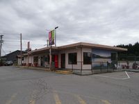
Jack Poelstra
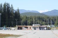
Mark Pasqualino
Runway 09/27
| Dimensions | 3,621 x 150 ft (1104 x 46 m) |
| Surface | Asphalt, asphaltic concrete, tar macadam, or bitumen bound macadam. |
| PCN | 025FBYT |
| 09 | 27 | |
| Heading (Mag/True) | 093.0° / 112.0° | 273.0° / 292.0° |
| Latitude | N 49° 50' 10.00" | N 49° 49' 57.00" |
| Longitude | W 124° 30' 26.00" | W 124° 29' 35.00" |
| Elevation / TDZE | 369 ft / 385.0 ft | 425 ft / U ft |
| Displaced Threshold | 0 ft | 0 ft |
| Slope | 1.5° | -1.5° |
| Declared Distances |
Takeoff: 3621 ft Landing: 3621 ft |
Takeoff: 3621 ft Landing: 3621 ft |
| Lighting System 1 | Pilot Controlled Lighting | Pilot Controlled Lighting |
| Lighting System 2 | Medium Intensity Runway Lighting System | Medium Intensity Runway Lighting System |
| Lighting System 3 | Runway End Identifier Lights | Runway End Identifier Lights |
| Lighting System 4 | Type 50 | Type 50 |