Rankin Inlet Airport, Rankin Inlet, Canada (CYRT / YRT)
Rankin Inlet Airport
CYRT/YRT
Rankin Inlet Airport
Rankin Inlet, Canada
Latest photos of Rankin Inlet Airport, Rankin Inlet, Canada
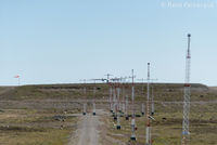
Remi Farvacque
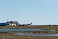
Remi Farvacque
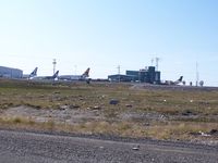
Philippesdad
Rankin Inlet Airport (CYRT/YRT) is a regional airport located in Rankin Inlet, Canada. The airfield is situated at an elevation of 94 feet (29 meters) above sea level. Operations are conducted on 1 runway. The facility operates 5 published communication frequencies. The gallery features 3 photos documenting air traffic and facilities at the airport.
Runway 13T/31T
| Dimensions | 6,000 x 150 ft (1829 x 46 m) |
| Surface | Asphalt |
| Lighted | Yes |
| Status | Open |
| 13T | 31T | |
| Heading (True) | 129° | 309° |
| Latitude |
62.816601 N 62° 48' 59.76" |
62.806198 N 62° 48' 22.31" |
| Longitude |
-92.129799 W 92° 07' 47.28" |
-92.101898 W 92° 06' 06.83" |
| Elevation | 85 ft | 94 ft |
| Displaced Threshold | 0 ft | 0 ft |