Koksijde Air Base, Koksijde, Belgium (EBFN)
Koksijde Air Base
EBFN
Koksijde Air Base
Koksijde, Belgium
Latest photos of Koksijde Air Base, Koksijde, Belgium
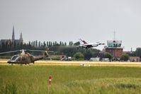
Guy Vandersteen
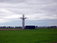
Joeri Van der Elst
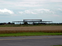
Joeri Van der Elst
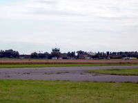
Joeri Van der Elst
Koksijde Air Base (EBFN) is a regional airport located in Koksijde, Belgium. The airfield is situated at an elevation of 20 feet (6 meters) above sea level. Operations are conducted on 2 runways. The facility operates 6 published communication frequencies. The gallery features 5 photos documenting air traffic and facilities at the airport.
Runway 02/20
| Dimensions | 2,621 x 98 ft (799 x 30 m) |
| Surface | Concrete |
| Lighted | No |
| Status | Open |
| 02 | 20 | |
| Heading (True) | ° | ° |
| Latitude |
51.089710 N 51° 05' 22.96" |
51.096730 N 51° 05' 48.23" |
| Longitude |
2.656540 E 2° 39' 23.54" |
2.658930 E 2° 39' 32.15" |
| Elevation | 20 ft | 20 ft |
| Displaced Threshold | 0 ft | 0 ft |
Runway 11/29
| Dimensions | 8,786 x 164 ft (2678 x 50 m) |
| Surface | Paved |
| Lighted | Yes |
| Status | Open |
| 11 | 29 | |
| Heading (True) | 108° | 288° |
| Latitude |
51.094002 N 51° 05' 38.41" |
51.086498 N 51° 05' 11.39" |
| Longitude |
2.634800 E 2° 38' 05.28" |
2.671070 E 2° 40' 15.85" |
| Elevation | 14 ft | 20 ft |
| Displaced Threshold | 1526 ft | 311 ft |