Fürstenwalde Airport, Fürstenwalde/Spree, Germany (EDAL)
Fürstenwalde Airport
EDAL
Fürstenwalde Airport
Fürstenwalde/Spree, Germany
Latest photos of Fürstenwalde Airport, Fürstenwalde/Spree, Germany
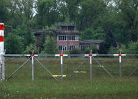
moxy
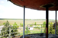
Joop de Groot
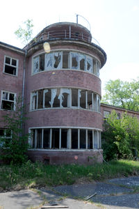
Joop de Groot
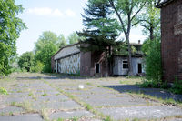
Joop de Groot
Fürstenwalde Airport (EDAL) is a closed airfield located in Fürstenwalde/Spree, Germany. The airfield is situated at an elevation of 184 feet (56 meters) above sea level. Operations are conducted on 1 runway. The gallery features 4 photos documenting air traffic and facilities at the airport.
Runway 11/29
| Dimensions | 2,802 x 0 ft (854 x 0 m) |
| Surface | Unknown |
| Lighted | No |
| Status | Open |
| 11 | 29 | |
| Heading (True) | ° | ° |
| Latitude |
0.000000 N 0° 00' 00.00" |
0.000000 N 0° 00' 00.00" |
| Longitude |
0.000000 E 0° 00' 00.00" |
0.000000 E 0° 00' 00.00" |
| Elevation | 184 ft | 184 ft |
| Displaced Threshold | 0 ft | 0 ft |