RAF Scampton, Lincoln, Lincolnshire, United Kingdom (EGXP / SQZ)
RAF Scampton
EGXP/SQZ
RAF Scampton
Lincoln, Lincolnshire, United Kingdom
Latest photos of RAF Scampton, Lincoln, Lincolnshire, United Kingdom
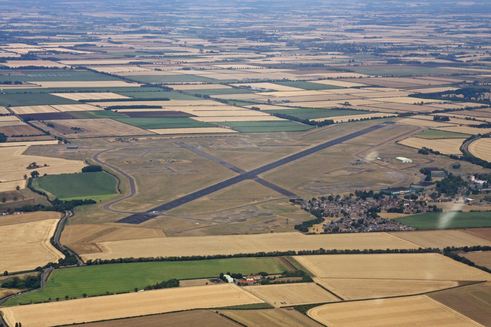
Chris Hall
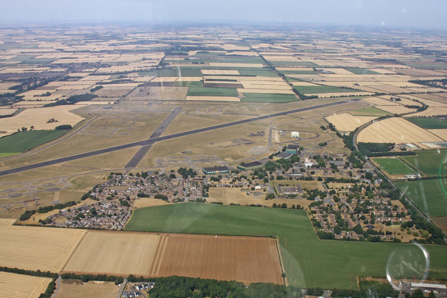
Chris Hall
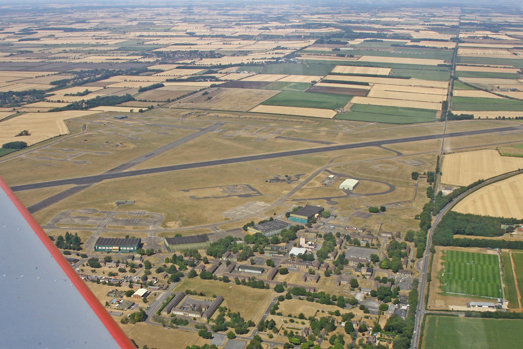
Chris Hall
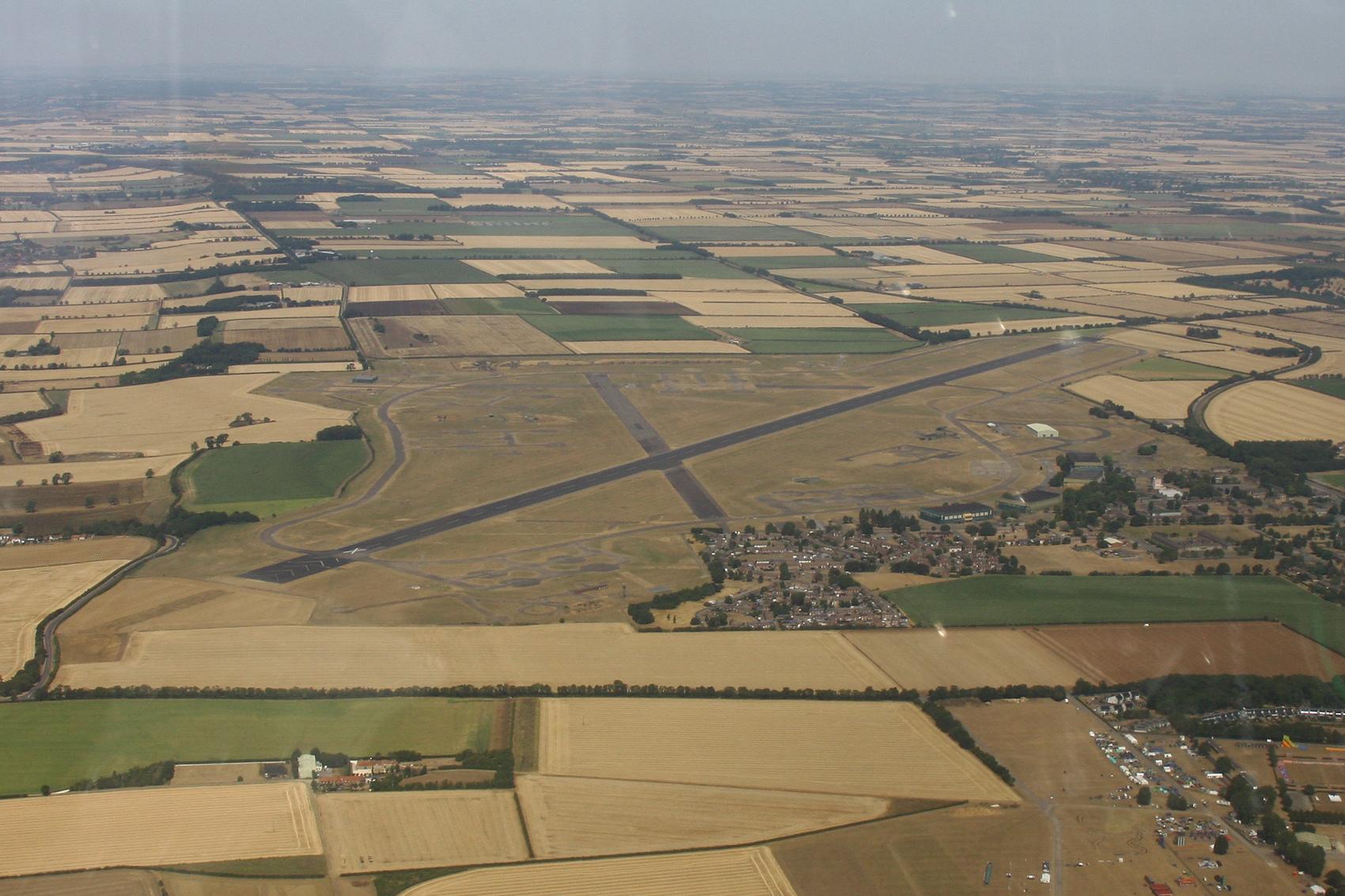
Chris Hall
RAF Scampton (EGXP/SQZ) is a closed airfield located in Lincoln, Lincolnshire, United Kingdom. The airfield is situated at an elevation of 202 feet (62 meters) above sea level. Operations are conducted on 1 runway. The facility operates 8 published communication frequencies. The gallery features 13 photos documenting air traffic and facilities at the airport.
Runway 04/22
| Dimensions | 8,990 x 200 ft (2740 x 61 m) |
| Surface | Asphalt |
| Lighted | Yes |
| Status | Open |
| 04 | 22 | |
| Heading (True) | 41° | 221° |
| Latitude |
53.298698 N 53° 17' 55.31" |
53.317200 N 53° 19' 01.92" |
| Longitude |
-0.564353 W 0° 33' 51.67" |
-0.537308 W 0° 32' 14.31" |
| Elevation | 196 ft | 168 ft |
| Displaced Threshold | 0 ft | 0 ft |