Châteaudun Airfield, Châteaudun, Eure-et-Loir, France (LFOC)
Châteaudun Airfield
LFOC
Châteaudun Airfield
Châteaudun, Eure-et-Loir, France
Latest photos of Châteaudun Airfield, Châteaudun, Eure-et-Loir, France
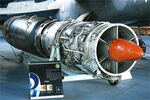
Yankee Quebec
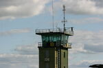
Yves-Q
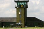
Yves-Q

Yves-Q
Châteaudun Airfield (LFOC) is a regional airport located in Châteaudun, Eure-et-Loir, France. The airfield is situated at an elevation of 433 feet (132 meters) above sea level. Operations are conducted on 1 runway. The facility operates 5 published communication frequencies. The gallery features 17 photos documenting air traffic and facilities at the airport.
Runway 10/28
| Dimensions | 7,552 x 148 ft (2302 x 45 m) |
| Surface | Asphalt |
| Lighted | Yes |
| Status | Open |
| 10 | 28 | |
| Heading (True) | 99° | 279° |
| Latitude |
48.059601 N 48° 03' 34.56" |
48.056702 N 48° 03' 24.13" |
| Longitude |
1.361340 E 1° 21' 40.82" |
1.391910 E 1° 23' 30.88" |
| Elevation | 433 ft | 424 ft |
| Displaced Threshold | 0 ft | 0 ft |