Lognes Emerainville Airfield, Lognes, Seine-et-Marne, France (LFPL)
Lognes Emerainville Airfield
LFPL
Lognes Emerainville Airfield
Lognes, Seine-et-Marne, France
Latest photos of Lognes Emerainville Airfield, Lognes, Seine-et-Marne, France

Jean Goubet-FRENCHSKY
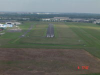
Didier BENOIT
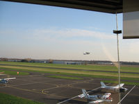
Guy DIDIER
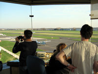
Guy DIDIER
Lognes Emerainville Airfield (LFPL) is a small airfield located in Lognes, Seine-et-Marne, France. The airfield is situated at an elevation of 359 feet (109 meters) above sea level. Operations are conducted on 2 runways. The facility operates 3 published communication frequencies. The gallery features 4 photos documenting air traffic and facilities at the airport.
Runway 08/26
| Dimensions | 2,296 x 65 ft (700 x 20 m) |
| Surface | Paved |
| Lighted | No |
| Status | Open |
| 08 | 26 | |
| Heading (True) | 82° | 262° |
| Latitude |
48.820591 N 48° 49' 14.13" |
48.821510 N 48° 49' 17.44" |
| Longitude |
2.621320 E 2° 37' 16.75" |
2.630755 E 2° 37' 50.72" |
| Elevation | 354 ft | 355 ft |
| Displaced Threshold | 0 ft | 0 ft |
Runway 08R/26L
| Dimensions | 3,608 x 328 ft (1100 x 100 m) |
| Surface | Grass |
| Lighted | No |
| Status | Open |
| 08R | 26L | |
| Heading (True) | 82° | 262° |
| Latitude |
0.000000 N 0° 00' 00.00" |
0.000000 N 0° 00' 00.00" |
| Longitude |
0.000000 E 0° 00' 00.00" |
0.000000 E 0° 00' 00.00" |
| Elevation | 365 ft | 357 ft |
| Displaced Threshold | 0 ft | 0 ft |