Jakabszállás Airfield, Jakabszállás, Hungary (LHJK)
Jakabszállás Airfield
LHJK
Jakabszállás Airfield
Jakabszállás, Hungary
Latest photos of Jakabszállás Airfield, Jakabszállás, Hungary
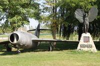
Attila Groszvald-Groszi
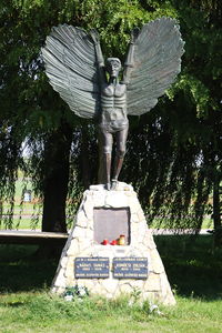
Attila Groszvald-Groszi
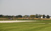
Attila Groszvald-Groszi
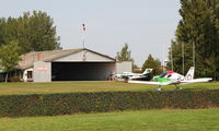
Attila Groszvald-Groszi
Jakabszállás Airfield (LHJK) is a small airfield located in Jakabszállás, Hungary. The airfield is situated at an elevation of 348 feet (106 meters) above sea level. Operations are conducted on 2 runways. The gallery features 10 photos documenting air traffic and facilities at the airport.
Runway 14L/32R
| Dimensions | 1,968 x 59 ft (600 x 18 m) |
| Surface | Asphalt |
| Lighted | No |
| Status | Open |
| 14L | 32R | |
| Heading (True) | ° | ° |
| Latitude |
46.749803 N 46° 44' 59.29" |
46.745389 N 46° 44' 43.40" |
| Longitude |
19.603057 E 19° 36' 11.01" |
19.607423 E 19° 36' 26.72" |
| Elevation | 0 ft | 0 ft |
| Displaced Threshold | 0 ft | 0 ft |
Runway 14R/32L
| Dimensions | 3,281 x 98 ft (1000 x 30 m) |
| Surface | Grass |
| Lighted | No |
| Status | Open |
| 14R | 32L | |
| Heading (True) | ° | ° |
| Latitude |
46.751283 N 46° 45' 04.62" |
46.744345 N 46° 44' 39.64" |
| Longitude |
19.601160 E 19° 36' 04.18" |
19.608033 E 19° 36' 28.92" |
| Elevation | 0 ft | 0 ft |
| Displaced Threshold | 0 ft | 0 ft |