Gorno-Altaysk Airport, Gorno-Altaysk, Russian Federation (UNBG / RGK)
Gorno-Altaysk Airport
UNBG/RGK
Gorno-Altaysk Airport
Gorno-Altaysk, Russian Federation
Latest photos of Gorno-Altaysk Airport, Gorno-Altaysk, Russian Federation
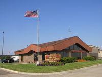
Mitch Sando
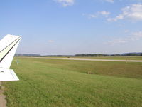
Mitch Sando
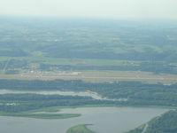
Mitch Sando
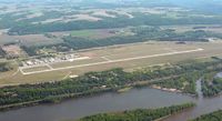
Timothy Aanerud
Gorno-Altaysk Airport (UNBG/RGK) is a regional airport located in Gorno-Altaysk, Russian Federation. The airfield is situated at an elevation of 965 feet (294 meters) above sea level. Operations are conducted on 1 runway. The gallery features 4 photos documenting air traffic and facilities at the airport.
Runway 02/20
| Dimensions | 7,546 x 138 ft (2300 x 42 m) |
| Surface | Asphalt |
| Lighted | No |
| Status | Open |
| 02 | 20 | |
| Heading (True) | 25° | 205° |
| Latitude |
51.959953 N 51° 57' 35.83" |
51.978573 N 51° 58' 42.86" |
| Longitude |
85.829376 E 85° 49' 45.75" |
85.843590 E 85° 50' 36.92" |
| Elevation | 0 ft | 0 ft |
| Displaced Threshold | 0 ft | 0 ft |