Tribhuvan International Airport, Kathmandu, Nepal (VNKT / KTM)
Tribhuvan International Airport
VNKT/KTM
Tribhuvan International Airport
Kathmandu, Nepal
Latest photos of Tribhuvan International Airport, Kathmandu, Nepal
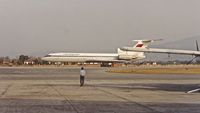
Clayton Eddy
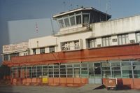
Clayton Eddy
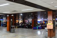
miro susta
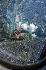
miro susta
Tribhuvan International Airport (VNKT/KTM) is a major international airport located in Kathmandu, Nepal. The airfield is situated at an elevation of 4390 feet (1338 meters) above sea level. Operations are conducted on 1 runway. The facility operates 5 published communication frequencies. The gallery features 9 photos documenting air traffic and facilities at the airport.
Runway 02/20
| Dimensions | 10,991 x 148 ft (3350 x 45 m) |
| Surface | Asphalt |
| Lighted | Yes |
| Status | Open |
| 02 | 20 | |
| Heading (True) | 22° | 202° |
| Latitude |
27.683800 N 27° 41' 01.68" |
27.709400 N 27° 42' 33.84" |
| Longitude |
85.353401 E 85° 21' 12.24" |
85.364799 E 85° 21' 53.28" |
| Elevation | 4313 ft | 4387 ft |
| Displaced Threshold | 890 ft | 985 ft |