Velana International Airport, Malé, Maldives (VRMM / MLE)
Velana International Airport
VRMM/MLE
Velana International Airport
Malé, Maldives
Latest photos of Velana International Airport, Malé, Maldives
Tomas Milosch
Tomas Milosch

Micha Lueck

JPC
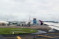
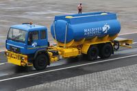
Velana International Airport (VRMM/MLE) is a major international airport located in Malé, Maldives. The airfield is situated at an elevation of 6 feet (2 meters) above sea level. Operations are conducted on 1 runway. The facility operates 3 published communication frequencies. The gallery features 9 photos documenting air traffic and facilities at the airport.
Runway 18/36
| Dimensions | 11,155 x 197 ft (3400 x 60 m) |
| Surface | Asphalt |
| Lighted | Yes |
| Status | Open |
| 18 | 36 | |
| Heading (True) | 179° | 359° |
| Latitude |
4.212572 N 4° 12' 45.26" |
4.181859 N 4° 10' 54.69" |
| Longitude |
73.531006 E 73° 31' 51.62" |
73.531036 E 73° 31' 51.73" |
| Elevation | 6 ft | 5 ft |
| Displaced Threshold | 328 ft | 952 ft |