U-Tapao–Rayong–Pattaya International Airport, Rayong, Thailand (VTBU / UTP)
U-Tapao–Rayong–Pattaya International Airport
VTBU/UTP
U-Tapao–Rayong–Pattaya International Airport
Rayong, Thailand
Latest photos of U-Tapao–Rayong–Pattaya International Airport, Rayong, Thailand
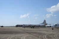
Jean M Braun
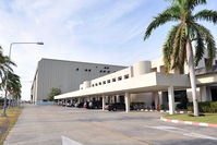
BigDaeng
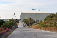
BigDaeng
U-Tapao–Rayong–Pattaya International Airport (VTBU/UTP) is a major international airport located in Rayong, Thailand. The airfield is situated at an elevation of 42 feet (13 meters) above sea level. Operations are conducted on 1 runway. The facility operates 3 published communication frequencies. The gallery features 3 photos documenting air traffic and facilities at the airport.
Runway 18/36
| Dimensions | 11,500 x 197 ft (3505 x 60 m) |
| Surface | Asphalt |
| Lighted | Yes |
| Status | Open |
| 18 | 36 | |
| Heading (True) | 185° | 5° |
| Latitude |
12.695800 N 12° 41' 44.88" |
12.664100 N 12° 39' 50.76" |
| Longitude |
101.005997 E 101° 00' 21.59" |
101.003998 E 101° 00' 14.39" |
| Elevation | 59 ft | 25 ft |
| Displaced Threshold | 0 ft | 0 ft |