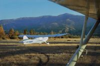
Gravelly Valley Airport Photo

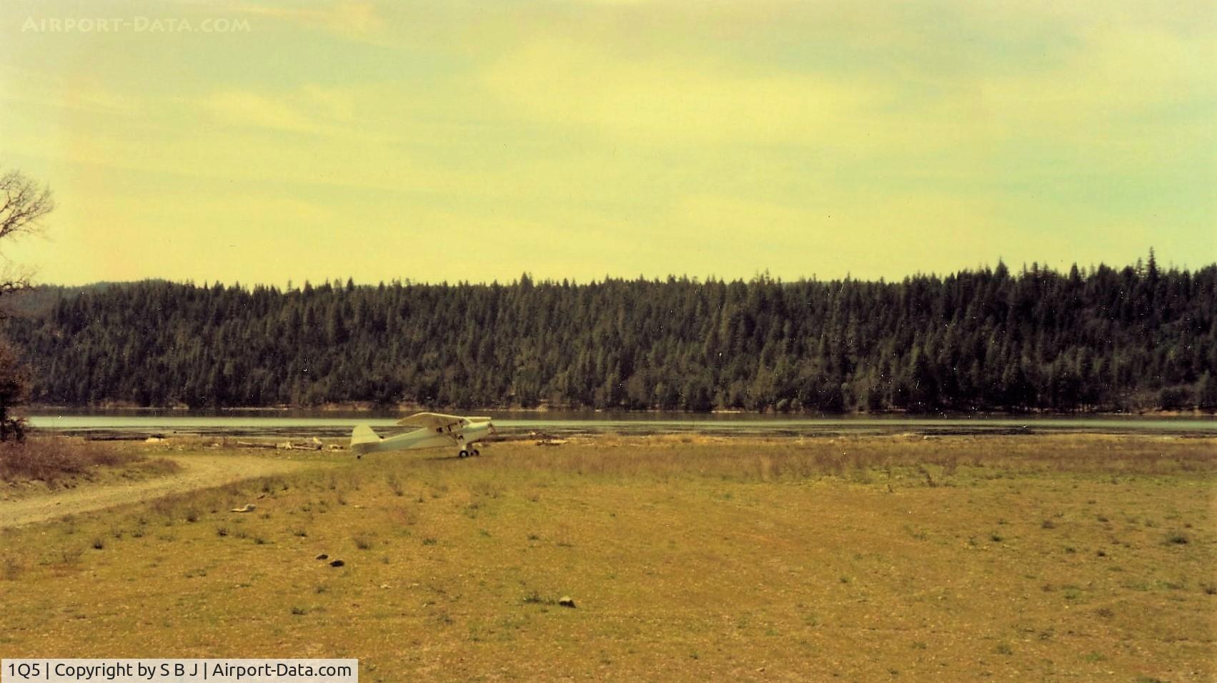
932 at Lake Pillsbury in late winter with the lake at near capacity.
Photo Info
Airport Gravelly Valley Airport
Photographer
S B J Contact
Upload Date 2016-05-26
Views 532
EXIF Data
Date Taken 2014-07-20 08:42:44
More photos of Gravelly Valley Airport
Total 23 photos. View all photos
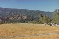
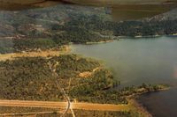
1Q5, Looking at Gravelly Valley airport from the north to the south.The top of Hull Mt.(6873 feet) is seen on the right.The elevation of 1Q5 is 1900 feet. The fire watch building burned down in 1992., photo by S B J
S B J
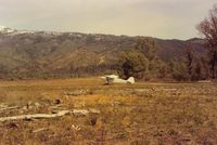
1Q5, 932 at 1Q5 with view down the runway and to the north. For planes like 932 ( for me ) it was a two way strip, but for a heavy C172 it is definitely one way only, at least for takeoff . The snow is on Hull Mt. which is 6873 feet., photo by S B J
S B J
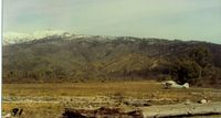
1Q5, 69E at the north end of field with a winter view of Hull Mt.Now that 1Q5 is very near the new Berryessa Snow Mt National Monument,what will happen to 1Q5? I wonder.Monuments have a habit of expanding with all thier restrictions!, photo by S B J
S B J
1Q5, Camping at Lake Pillsbury,Ca in 1992. The wonderful C172 made this (bring Honda) possible.There are a lot of miles of dirt road to explore around the lake and to the top of Mt Hull., photo by S B J
S B J
1Q5, N9078E at Gravelly Valley around 1977-78 and showing a large hangar that was once there. It was gone by the mid 80s. Uncertain if it was a private hangar or not as 1Q5 was an active air tanker base ( during fire season ) at one time., photo by S B J
S B J