Kawaihapai Airfield Airport (HDH)
Kawaihapai Airfield Airport (HDH)
HDH
Kawaihapai Airfield Airport (HDH)
Mokuleia, HI
Latest photos of Kawaihapai Airfield Airport (HDH)
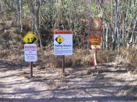
Paul Felix Schott
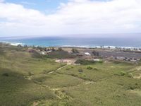
Paul Felix Schott
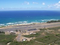
Paul Felix Schott

Paul Felix Schott
| FAA Information Effective | 2026-09-03 |
| Airport Identifier | HDH |
| Airport Status | Operational |
| Longitude/Latitude |
158°11'50.2130"
W /
21°34'46.1050"
N -158.197281 / 21.579474 (Estimated) |
| Elevation | 14.20 ft / 4.33 m (Surveyed) |
| Land | 134 acres |
| From nearest city | 2 nautical miles W of Mokuleia, HI |
| Location | Honolulu County, HI |
| Magnetic Variation | 11E (1985) |
| Airport Use | Open to public |
| Wind indicator | Yes |
| Segmented Circle | No |
| Control Tower | NON-ATCT |
| Landing fee charge | No |
| Sectional chart | HAWAIIAN ISLANDS |
| Region | AWP - Western-Pacific |
| Traffic Pattern Alt | 786 ft |
| Responsible ARTCC | ZHN - HONOLULU CONTROL FACILITY |
| Tie-in FSS | HNL - HONOLULU |
| FSS on Airport | No |
| FSS Toll Free | 1-800-WX-BRIEF |
| NOTAMs Facility | HNL (NOTAM-d service available) |
Runway 08/26
| Dimensions | 9007 x 75 ft (2745 x 23 m) |
| Surface | ASPH (FAIR) |
| Surface treatment |
| 08 | 26 | |
|---|---|---|
| Alignment | 91° | 271° |
| Physical elevation | 14.20 ft | 10.20 ft |
| Coordinates | 21.579599 / -158.210535 | 21.579347 / -158.184028 |
| Traffic pattern | Left | Right |
| Runway marking | Basic , Fair Condition | Basic , Fair Condition |
| Runway end lights | No | No |
| CL lights | No | No |
| TDZ lights | No | No |
- SIMULTANEOUS GLIDER/POWERED ACFT OPNS.
- ULTRALIGHTS ON & INVOF ARPT.
- TREE LINE WITH 90 FT TREES NORTH & SOUTH OF RY APRXLY 425 FT FROM CNTRLN.
- MARKED DEPRESSION INVOF THE AUTOMATED FUEL PUMP ON SOUTHWESTERN APRON.
- PPR FOR CIVIL ACFT 12500 LBS AND OVER, CTC ARPT AIRSIDE OPS MGR AT (808) 836-6428 MON-FRI, 0745-1630.
- RSTD: PPR MUST BE MADE NO LESS THAN 72 HRS FOR ALL MIL FIXED WING ACFT INTO ARPT. CTC USA HAWAII RANGE CTL C808-787-5126/5103.
- FOR CD CTC HONOLULU CONTROL FACILITY AT 808-840-6262.
- EXTNSV MIL HELICOPTER & GLIDER OPNS DAILY. AEROBATIC TRAINING OFFSHORE N OF AIRFIELD ABV 1500'.
- CLSD TO CIVIL ACFT 1900-0700 APR 1-SEP 30 AND 1800-0600 OCT 1-MAR 31.
- SKY DIVING ACTIVITY ON AND INVOF ARPT.
- CTN: LARGE SEA BIRDS ON AND INVOF ARPT NOVEMBER THROUGH APRIL.
- NO RUNNING LNDGS WITH SKID TYPE HELICOPTER ON RWY - APVD TWYS ONLY.
- A 5000 X 75 FT RWY FOR LGT POWERED ACFT HAS BEEN PAINTED IN THE CENTER OF EXISTING 9007 X 75 FT PAVED AREA FOR CIVIL USE STARTING APPROX 2000 FT FM EACH RWY END.
- POWERED ACFT SHALL KEEP BASE LEG IN CLOSE AND CROSS THE ARPT BOUNDARY FENCES AT OR ABOVE 600 FT MSL IN ORDER TO ASSURE SAFE SEPARATION FROM SAILPLANES/TOWPLANES USING THE FIRST 2000 FT (SHORT OF THE DSPLCE THLD).