Inverness Airport (INF)
Inverness Airport (INF)
INF
Inverness Airport (INF)
Inverness, FL
Latest photos of Inverness Airport (INF)
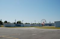
scotch-canadian
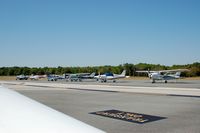
scotch-canadian
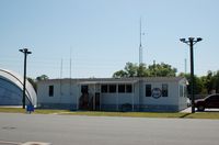
scotch-canadian
| FAA Information Effective | 2026-09-03 |
| Airport Identifier | INF |
| Airport Status | Operational |
| Longitude/Latitude |
82°19'5.8470"
W /
28°48'13.0060"
N -82.318291 / 28.803613 (Estimated) |
| Elevation | 64.50 ft / 19.66 m (Surveyed) |
| Land | 347 acres |
| From nearest city | 2 nautical miles SE of Inverness, FL |
| Location | Citrus County, FL |
| Magnetic Variation | 05W (2010) |
| Airport Use | Open to public |
| Wind indicator | Yes |
| Segmented Circle | Yes |
| Control Tower | NON-ATCT |
| Lighting Schedule | SEE RMK |
| Beacon Color | White-Green (lighted land airport) |
| Landing fee charge | No |
| Sectional chart | JACKSONVILLE |
| Region | ASO - Southern |
| Responsible ARTCC | ZJX - JACKSONVILLE |
| Tie-in FSS | PIE - SAINT PETERSBURG |
| FSS on Airport | No |
| FSS Toll Free | 1-800-WX-BRIEF |
| NOTAMs Facility | PIE (NOTAM-d service available) |
Runway 01/19
| Dimensions | 5000 x 75 ft (1524 x 23 m) |
| Surface | ASPH (GOOD) |
| Surface treatment | Saw-cut or plastic Grooved |
| Edge lights | Medium |
| PCN | 16 |
| 01 | 19 | |
|---|---|---|
| Alignment | 6° | 186° |
| Physical elevation | 64.40 ft | 40.20 ft |
| Coordinates | 28.796776 / -82.319126 | 28.810449 / -82.317456 |
| Traffic pattern | Right | Left |
| Runway marking | Non-precision instrument , Good Condition | Non-precision instrument , Good Condition |
| VGSI | 4-light PAPI on left | 4-light PAPI on left |
| Runway end lights | Yes | Yes |
- RWY 19 300' AGL TOWER 5600' N OF THR 2500' R OF CL.
- FOR CD CTC JACKSONVILLE APCH AT 904-741-0284.
- UNLGTD OBSTNS IN RWY 01 APCH, TREES 89 FT TALL, 2140 FT FM AER RWY 01.
- UNLGTD OBSTNS IN RWY 19 APPCH, TREES 98 FT TALL, 1,655 FT FM AER RWY 19.
- PRVDD COORDINATION FOR THE ESTABLISHMENT OF THE PROPOSED NONFEDERAL NDB IS COORDINATED WITH ORL/ADO AND RY EXT MAY BE SUBJ TO ENVIRONMENTAL REVIEW.